Peri-Urban Potential

How can landscapes for both people and production prosper within peri-urban Aotearoa through innovative spatial design, reconnecting New Zealanders with whenua and food?

David Wall

Project Details Ngā taipitopito

Project Status:
Completed
Challenge funding:
$130,000
Research duration:
July 2022 – June 2023

Collaborators Ngā haumi

You are here: Home / Projects / ­ Peri-Urban Potential

What are we doing?E aha ana mātou?

The productive land surrounding New Zealand cities is increasingly under threat from urban expansion. These peri-urban zones are vitally important to New Zealand’s settlements, communities, ecology, and economies.

The national housing crisis has created a conflict between protecting this land for food production, and removing restrictive barriers to urban growth. This project will investigate innovative land-use possibilities that benefit both people and production within the contentious peri-urban zone.

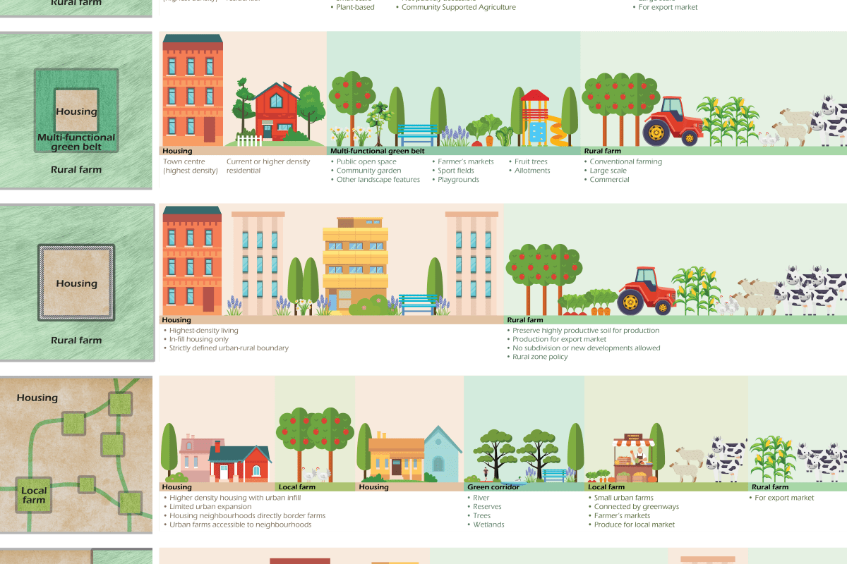
The research team will adopt bicultural design principles to develop Aotearoa-specific spatial land use typologies for the peri-urban zone that prioritise māra kai and mahinga kai, with the aim of re-connecting whānau, whenua and food.

How can the research be used? Ka pēhea e whai take ai te rangahau?

  • This project will develop a set of spatial land-use alternatives specific for the peri-urban zone in Aotearoa New Zealand, based on international and local case studies, and prioritising the landscape principles of māra kai, mahinga kai and maramataka,.
  • Embedding mana whenua values into spatial land-use design along the rural to urban continuum will offer new opportunities to both nourish the land and the communities that reside within it. Within the peri-urban zone, this research explores the interconnection between land and life, between production and people, between rural and urban.
  • This project will produce a report and a peer-reviewed journal article that promotes healthy outcomes for whenua and whānau in a holistic and integrated way. The findings will be of interest to mana whenua, growers, residents, planners and designers, and territorial authorities, to inform how they approach the unique challenges and opportunities of peri-urban zones in Aotearoa.

Research team Te hunga i whai wāhi mai

Project Lead/Science Lead
Shannon Davis
Lincoln University
Richard Morris
Lincoln University
Hanley Chen
Lincoln University
Naomi Darvill
Lincoln University
Pablo Gregorini
Lincoln University

Tools & resources Ngā utauta me ngā rauemi

Presentation

Peri-urban landscapes: Rethinking the land around cities for housing + food production

Slides from a webinar describing research on rethinking the land around cities for housing and food production.
View Presentation

Future Landscapes Projects

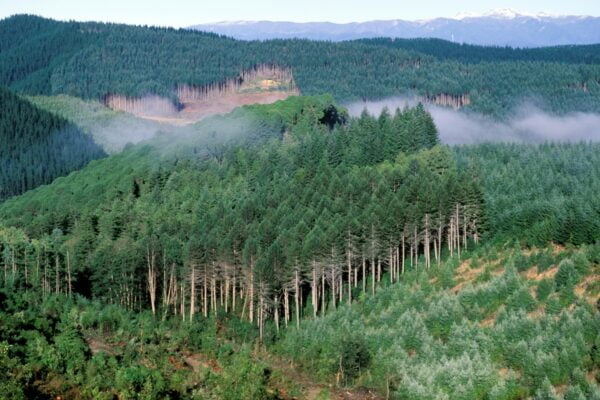
Shutterstock 1031980621New Zealand, South Island, pine forest near Wakefield in the north of the south island.

Visualising Forestry Harvesting Cycles

Future risk planning through the visualisation of forestry harvesting cycles. For full information see the programme website
View Project
This project has produced
Information Type Icon Guidance OutlineInformation Type Icon Interactive Tool OutlineInformation Type Icon Method OutlineInformation Type Icon Summary Outline
Kids & Co Photos / Laura Bolt / TrueStock

Matarau: Empowering Māori Landowners in Land Use Decisions

Providing accessible and useful data to support Māori landowners to prioritise land-use options. For full information see the programme website
View Project
This project has produced
Information Type Icon Interactive Tool Outline
Next Generation Systems Illo

Next Generation Systems

Identifying next generation primary production systems and opportunities to change the face of farming
View Project
This project has produced
Information Type Icon Journal Article OutlineInformation Type Icon Presentation OutlineInformation Type Icon Technical Reports Outline

Faecal Source Tracking

Identifying the sources of faecal contamination in waterways, and identifying naturalised Escherichia coli to help establish water quality for swimming
View Project

Healthy Estuaries

Assessing the interactions between loadings of different contaminants from freshwaters on the health and functioning of estuaries
View Project
This project has produced
Information Type Icon Guidance OutlineInformation Type Icon Summary OutlineInformation Type Icon Technical Reports Outline
The Duke of Edinburgh (third from left) observes border dyke irrigation at the Winchmore Research Station Irrigation Scheme. In a border dyke irrigation system, when water is diverted from the main water races into smaller ones, a temporary dam must be created at the outlet to each border, so the water spills through onto pasture. In this image the outlet behind the worker in the water has been closed with a board, the pasture on the right of it has been flattened by the previous flow of water. The worker is lifting a corner of the canvas dam to allow water to flow down to the next temporary dam.

Linking Legacies to Wai

Accounting for lag times and natural concentrations of contaminants in groundwater
View Project
Scroll to Top