 View Our Strategy Document 2019 – 2024

August 30, 2024


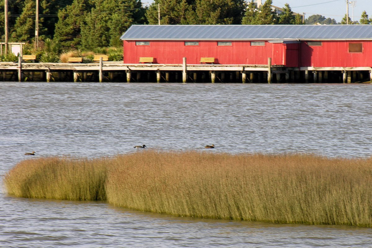
Healthy Estuaries
Ki Uta Ki Tai
Assessing the interactions between loadings of different contaminants from freshwaters on the health and functioning of estuaries
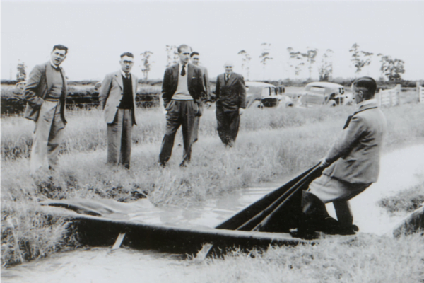
Spid Pye, Truestock
Project Details Ngā taipitopito
Project Status:
Challenge funding:
$512,000 + co-fundingResearch duration:
September 2021 – September 2023Collaborators Ngā haumi
Auckland Council | Cawthron Institute | Department of Conservation | Integrated Kaipara Harbour Management Group | Kitson Consulting | Land Water People | Manaaki Whenua Landcare Research | Ministry for the Environment | MPI | MUSA Environmental | NIWA | Sustainable Seas Challenge | Te Ao Mārama Inc (Ngai Tahu ki Murihiku) | Te Rūnanga ō Ngāti Whakahemo | University Of Otago | University Of Waikato
What are we doing?E aha ana mātou?
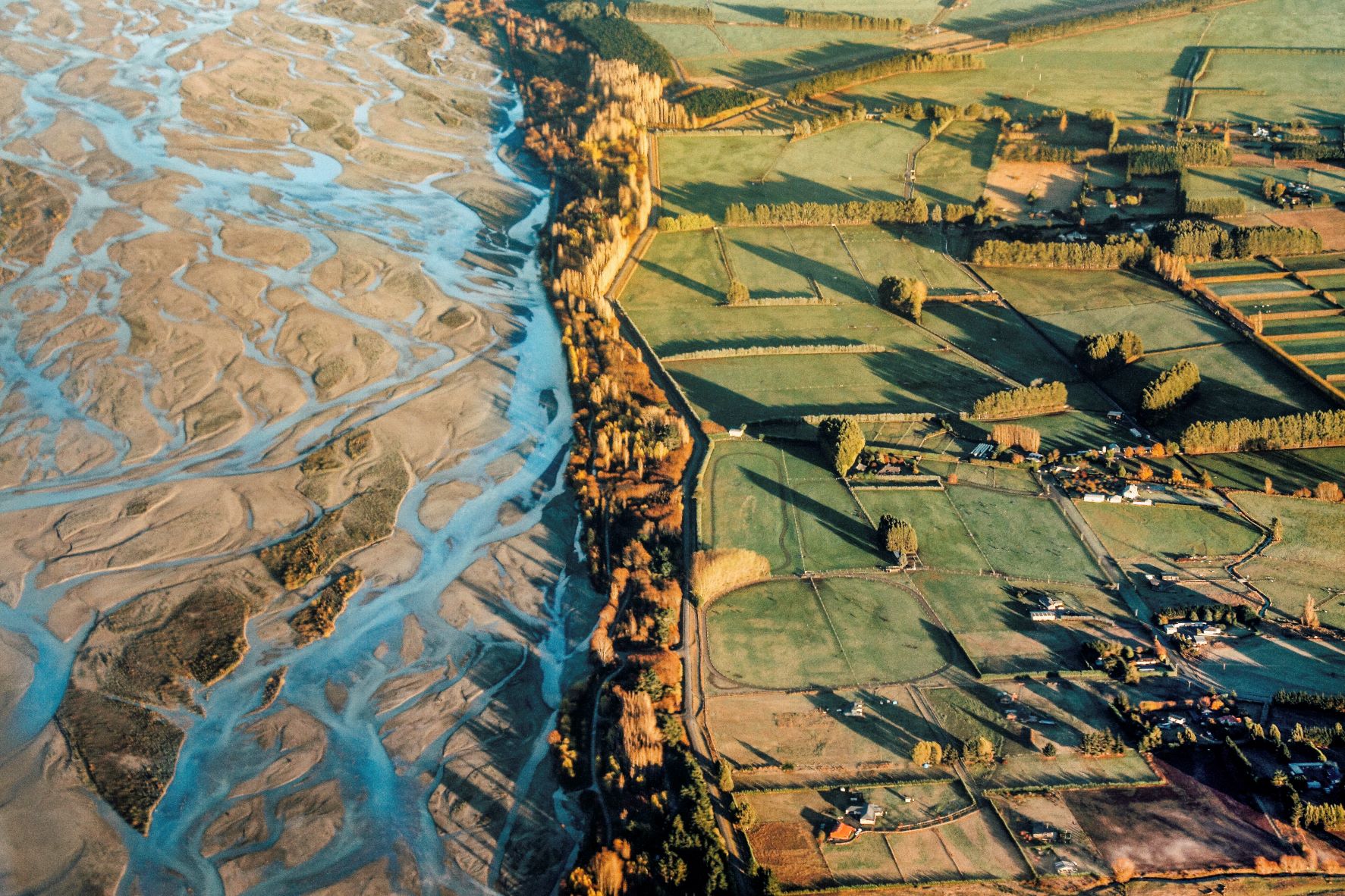
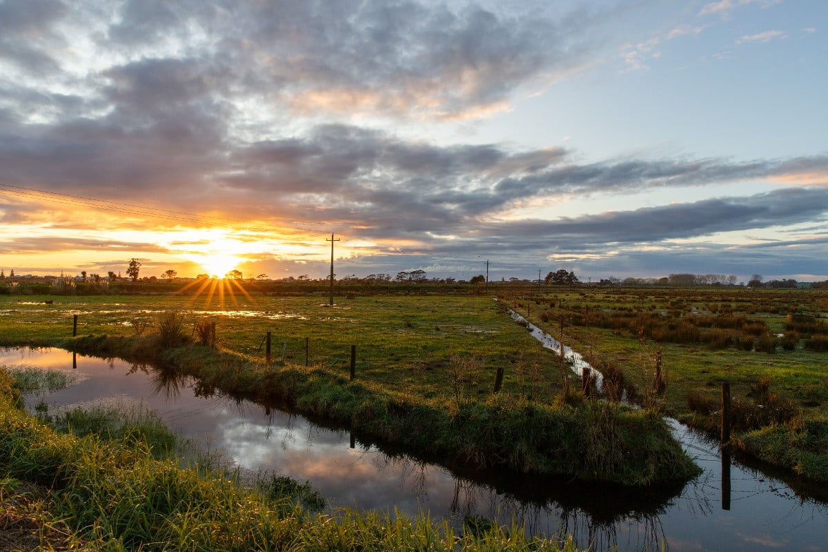
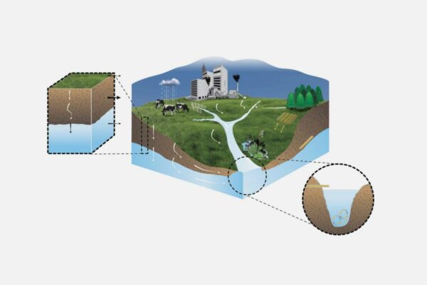
The health and functioning of estuaries are affected by contaminants from freshwater. These contaminants interact with each other, causing cumulative effects that can be difficult to predict. The National Policy Statement for Freshwater Management does not yet include how to assess the interactions of contaminants.
We are working with Sustainable Seas, in partnership with the Ministry for the Environment (MfE), to address this gap.
In case study estuaries, Māori researchers will work with whānau, hapū, iwi and local community groups to identify aspirations for their estuary, and present uses and stressors.
Our Land and Water researchers will estimate freshwater contaminant loads to New Zealand estuaries historically, now, and under a changed climate. Sustainable Seas will then combine the data with information on estuarine ecology to determine critical stressor thresholds and buffers that take into account the stressors’ cumulative effects, mātauranga Māori, and locally informed objectives. These critical stressor thresholds will be used to establish limits for freshwater contaminants.
Our Land and Water will then assess whether implementing different land management options can meet the proposed limits – now, by 2050, or by 2100.
How can the research be used? Ka pēhea e whai take ai te rangahau?
- Informed by mātauranga Māori, this mahi will identify contaminant thresholds required to restore the ecological structure and function, and the mauri of estuaries.
- The research will assess the impact of identified contaminant thresholds on catchment land use, and whether thresholds can be achieved considering realistic land-management options.
- Health indices and tohu will be identified to inform the management priorities for enhancing estuarine functionality and its mauri.
Related research updates Ngā pānui mō te rangahau nei
Participation & engagement Te hunga i whai wāhi mai
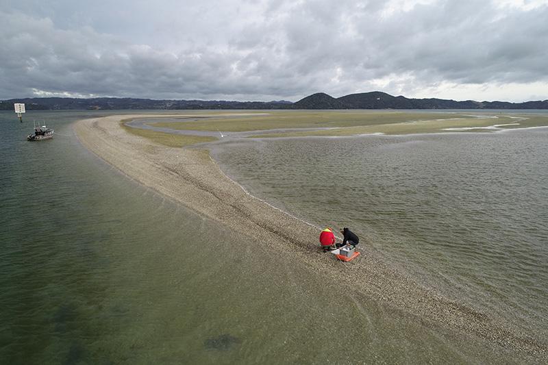
- Research will focus on the Kaipara, Waihi and New River estuaries. These case studies represent different estuary types and sizes with different surrounding land uses and climates.
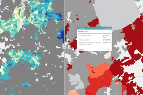
- The collaboration with the Ministry for the Environment is a critical part of extending this research nationally. This will include spatial and temporal ecological analyses in 12 estuaries nationwide, and landcover and freshwater input assessments for over 200 estuarine systems all around New Zealand.
Research team Te hunga i whai wāhi mai
Science Lead
Alex Herzig
Manaaki Whenua Landcare Research
Programme Co-ordinator
Anne-Maree Schwarz
Andrew Neverman
Manaaki Whenua Landcare Research
John Dymond
Manaaki Whenua Landcare Research
Sandy Elliot
NIWA
Ton Snelder
Land Water People
Shaun Awatere
Manaaki Whenua Landcare Research
Kura Paul-Burke
Ngāti Awa, Ngāti Whakahemo
MUSA Environmental
Jane Kitson
Kitson Consulting
Conrad Pilditch
University of Waikato
Richard Bulmer
University of Waikato
Candida Savage
University of Otago
Dana Clark
Cawthron Institute
Patricia Clark
IKHMG
Tools & resources Ngā utauta me ngā rauemi
Guidance
Why Pines? A context for recent research results which appear to support land conversion into pine forestry
Four research programmes funded by the Our Land and Water (Toitū te Whenua, Toiora te Wai) National Science Challenge (OLW) and completed in autumn 2024…
Summary
Ki uta ki tai: Managing catchments for Healthy Estuaries
This research provided a new, national overview of the current state of the estuaries. About 60% of NZ estuary catchments do not meet the NPS-FM…
Guidance
Ki uta ki tai: mātāpono me te pūtaiao, ngā korero whakamahuki ma te kaitiaki – From mountains to the sea: values and science for an informed kaitiaki / guardian
Estuaries, located between land and sea, are diverse and productive ecosystems that provide a wide range of highly valued goods and services. The health of…
Technical Report
From mountains to the sea: values and science for an informed kaitiaki/guardian – land
This project aimed to assess the impacts and implications of meeting contaminant reduction targets for estuaries on catchment land-use and management. The objectives were to:…
In the media Mai i te ao pāpaho
Bay of Plenty Times, 14 June 2023
Bay of Plenty Regional Council, 21 June 2023
FedsNews, 23 June 2022
Hawkes Bay Today, 31 May 2022
The Southland Times, 24 May 2024
Related news
Future Landscapes Projects
Visualising Forestry Harvesting Cycles
Future risk planning through the visualisation of forestry harvesting cycles. For full information see the programme website
This project has produced

Matarau: Empowering Māori Landowners in Land Use Decisions
Providing accessible and useful data to support Māori landowners to prioritise land-use options. For full information see the programme website
This project has produced
Next Generation Systems
Identifying next generation primary production systems and opportunities to change the face of farming
This project has produced
Linking Legacies to Wai
Accounting for lag times and natural concentrations of contaminants in groundwater
Land Use Suitability
Land use suitability tools and assessment processes for increasing land use diversity and delivering better community outcomes.
Sources and Flows
Managing contaminant pathways and attenuation to create headroom for productive land use.