 View Our Strategy Document 2019 – 2024

August 30, 2024


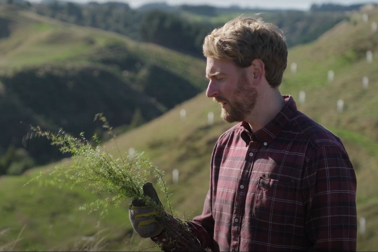
Visualising Forestry Harvesting Cycles
Future risk planning through the visualisation of forestry harvesting cycles.
For full information see the programme website
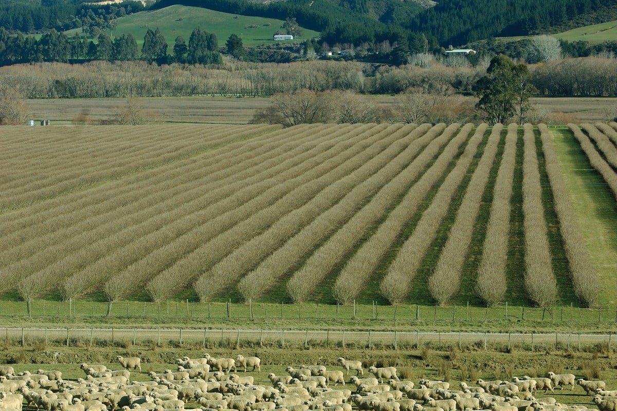
Pine forest near Wakefield in the north of the South Island. Photo: John Carnemolla / Shutterstock
Project Details Ngā taipitopito
Project Status:
Challenge funding:
$700,000Research duration:
July 2023 – June 2024Collaborators Ngā haumi
GeoInsight | Gisborne District Council | GNS Science | Hawkes Bay Regional Council | Indufor | Marlborough District Council | Nelson City Council | Tasman Regional Council | University Of Canterbury
What are we doing?E aha ana mātou?
Local councils, landowners, and the forestry sector are working to enhance their management and mitigation of future environmental impacts. Central to this effort is the ambition to improve access to vital information about forestry stand locations, recent harvests, and forthcoming harvesting schedules.
The project aims to create an online spatial decision support tool to help visualise forestry stand age data and predict risk profiles in catchments of different sizes. This involves visualising future intergenerational harvesting cycles, downstream risks, and the natural susceptibility of areas typically prone to erosion.
This approach aims to provide a comprehensive understanding of harvesting cycles on a catchment scale, which is essential for proactive environmental stewardship.
The methodology will be completed by mid-2024. After this, the web-based tool will undergo further refinements in five targeted regions: Te Tauihu (Tasman, Nelson, Marlborough), Te Matau-a-Māui (Hawkes Bay), and Tairāwhiti (Gisborne), with the goal of expanding deployment throughout Aotearoa.
How can the research be used? Ka pēhea e whai take ai te rangahau?
- Users of the tool will be able to see a consistent and accurate baseline of plantation stand age that can be used as a proxy for likely harvesting activity.
- Visualisations of data will use a time slider and heat mapping to highlight catchments and forested areas needing greater attention to help focus management efforts into the future.
- Users will be able to visualise and understand the evolving risks associated with forestry activities in different catchment areas.
- The results from this project could ultimately provide a common medium to enable open and transparent landscape-scale management conversations to flourish to futureproof communities, infrastructure and the sensitive receiving environments downstream.
- This project will surface data and information that is currently inaccessible to many due to resource limitations, empowering the forestry sector to showcase progressive and proactive catchment planning with regulators, empower tangata whenua to protect cultural heritage, and encourage other land users to think holistically.
Participation & engagement Te hunga i whai wāhi mai
- A stakeholder analysis will be undertaken to deeply understand needs, pain points and opportunities.
- The research team will work with Māori stakeholder groups, predominantly through te Taiao teams within post settlement governance entities and representatives from iwi commercial boards that hold forestry interests, to ensure that their needs are well understood and accounted for in the design of the tool.
Research team Te hunga i whai wāhi mai
Project Manager
Mark Spencer
GeoInsight
Architect/Software Lead
Robert Besaans
GeoInsight
Science Lead
Brenda Rosser
GNS Science
Pete Watt
Indufor
Mark Bloomberg
University of Canterbury
Tools & resources Ngā utauta me ngā rauemi
Guidance
Forestry Catchment Planner: User Guide
The User Guide provides a comprehensive overview of the Forestry Catchment Planner app‘s interface and key features. It helps users understand how to effectively navigate…
Interactive Tool
Forest Catchment Planner app
The Forestry Catchment Planner provides a comprehensive and intuitive platform for understanding plantation forestry harvesting cycles in a geospatial context within New Zealand’s vulnerable landscapes.…
Method
Forestry Catchment Planner documentation website
The documentation site for the Forestry Catchment Planner app is designed to provide users with clear, accessible information on the project’s methodology and data analysis.…
Summary
Project Summary – Future Risk Planning Through The Visualisation Of Forestry Harvesting Cycles
The project team engaged an extensive audience through the project including iwi, councils, forestry industry, subject matter experts, scientists and public in order to deeply…
Summary
Visualisation Of Forestry Harvesting Cycles: Wairoa Catchment Case Study
The case study illustrates how the Forestry Catchment Planner app could assist various stakeholders in the forestry sector by offering detailed insights into land vulnerability…
Technical Report
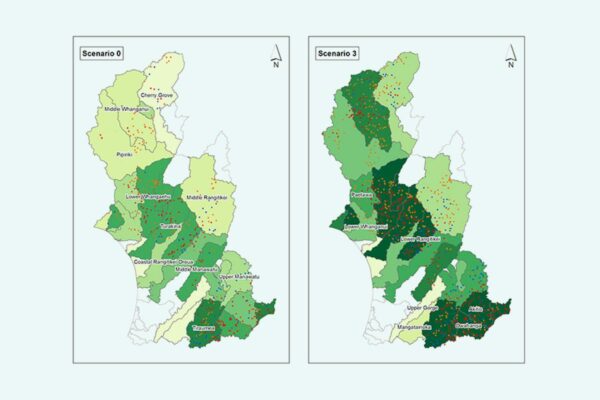
Examining the effect on sediment loss by differential pricing in the ETS to encourage land use change on highly erodible land
We defined three land use change scenarios on highly erodible land to examine the effect on sediment loss by differential pricing in the New Zealand…
Related news
Future Landscapes Projects
Matarau: Empowering Māori Landowners in Land Use Decisions
Providing accessible and useful data to support Māori landowners to prioritise land-use options. For full information see the programme website
This project has produced
Next Generation Systems
Identifying next generation primary production systems and opportunities to change the face of farming
This project has produced
Faecal Source Tracking
Identifying the sources of faecal contamination in waterways, and identifying naturalised Escherichia coli to help establish water quality for swimming
Cascade of Soil Erosion
Developing sediment models to enable land managers, water users, communities and iwi to set sediment-related water quality targets
Assessing Contaminants with Stream Order
Determining whether excluding livestock from large streams in flat catchments would substantially decrease the contaminant load
Phosphorus Best Practice
Investigating whether current fertiliser and effluent guidelines and policy are strong enough to prevent phosphorus loss