 View Our Strategy Document 2019 – 2024

August 30, 2024


Mapping Freshwater Contaminants
A set of research projects collectively mapping freshwater contaminant transport from source to sink
Project Details Ngā taipitopito
Project Status:
Challenge funding:
$1,465,500Research duration:
January 2021 – December 2023Collaborators Ngā haumi
AgResearch | ESR | Land Water People | Land & Water Science | Lincoln Agritech | NIWA | RMA Science | Tutanota
What are we doing?E aha ana mātou?
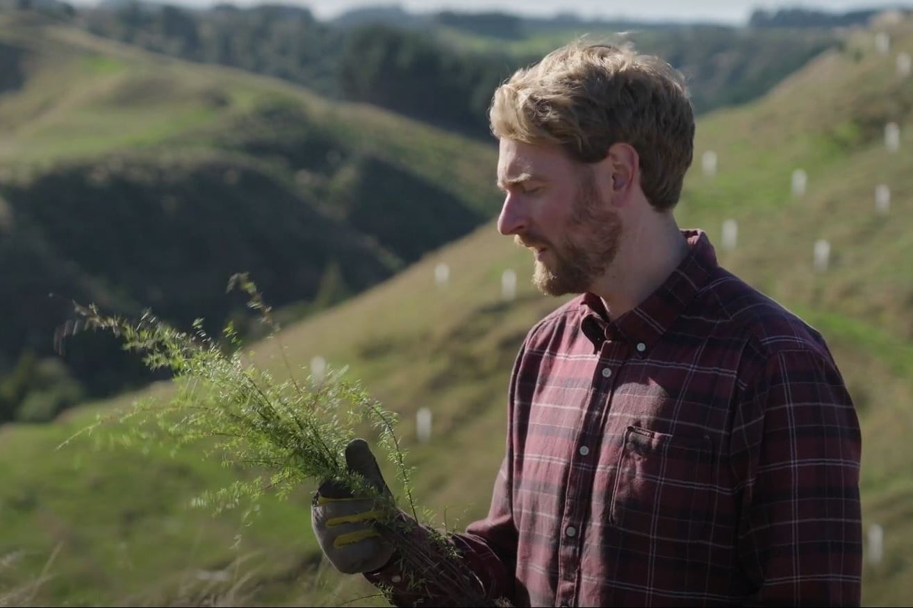
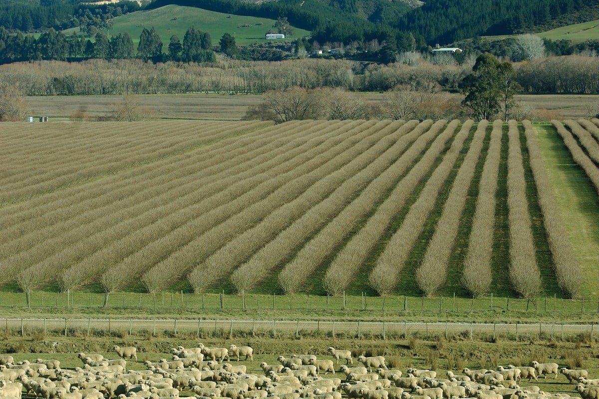
To improve the health of freshwater in Aotearoa, we need to better understand how freshwater contaminants – nitrogen, phosphorus, sediment, and microbes – move through our environment from land to water.
This research aims to map or classify New Zealand landscapes and land management practices according to their contaminant delivery from source to sink. Five individual work programmes are collectively producing this work, to:
- identify how differences in landscape and climate increase the risk of E.coli being transported to water;
- improve the accuracy of maps of groundwater ‘redox’ zones (areas with the natural potential to remove nitrogen) that determine whether nitrogen is reduced in aquifers;
- validate the physiographics approach so it can be a reliable tool to support land-management decisions to improve the health of freshwater;
- identify patterns, variability and uncertainties (at catchment scale) associated with the natural processes that attenuate (reduce) nitrogen and phosphorus impacts on water; and
- map the natural susceptibility of soil loss and transport from surficial erosion, and where stock grazing adds additional pressure.
These maps will provide scientifically robust information to help people in central and regional government plan, develop and implement policy related to water quantity and contaminant discharge. They will also inform land managers of the risk profile of their landscapes and management decisions.
How can the research be used? Ka pēhea e whai take ai te rangahau?
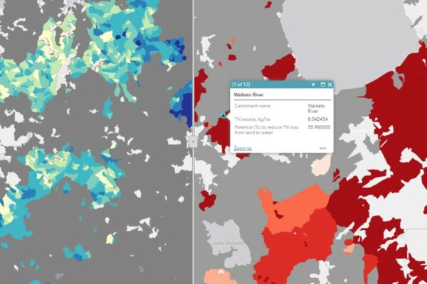
- This research will produce a National Landscape Classification for Freshwater Management, including contaminant flow-paths and attenuation coefficients; national maps of groundwater redox and denitrification potential; and national maps of attenuation coefficients for nitrogen and phosphorus species, sediment, and microbial contamination.
- The work will identify uncertainties, limitations and data gaps, and will make recommendations of where to prioritise new monitoring and modelling to help predict contaminant flow-paths (N and P species, suspended sediment, E. coli) and their potential attenuation.
- This research will provide the Ministry for the Environment with better landscape biogeochemical information in relation to contaminant risks, for use in policy option assessments. Local government will also benefit from this information, for use in NPS-FM implementation, for example as inputs to catchment models.
- This research will provide information about the achievable accuracy and precision of analyses that simulate the impacts of land use and management on contaminant levels in freshwater receiving environments.
- Understanding nitrogen and phosphorus attenuation uncertainty is of critical importance, because it underpins policy makers’ and land managers’ confidence in predicting water quality changes from land use or management changes. Understanding uncertainty in the attenuation estimates strongly determines the accuracy and precision with which any land management regime variable can be specified, including contaminant accounts, allocations and expected water quality outcomes. Not understanding the achievable accuracy and precision associated with catchment models can create false confidence in any predicted outcomes or decisions that will not be achievable.
Research team Te hunga i whai wāhi mai
E.coli Project lead
Richard Muirhead
AgResearch
Physiographics Lead
Lisa Pearson
Land and Water Science
Redox & Groundwater Mapping Science Lead
Murray Close
ESR
Attenuation Lead
Ton Snelder
Land Water People
Soil Loss Lead
Mitchell Donovan
AgResearch
Clint Rissmann
Land and Water Science
Theo Sarris
ESR
Allanah Kenny
ESR
Phil Abraham
ESR
Scott Wilson
Lincoln AgriTech
Tim Cox
RMA Science
Sandy Elliott
NIWA
Tim Kerr
Land Water People
Caroline Fraser
Land Water People
Amy Whitehead
NIWA
Christian Zammit
NIWA
Tools & resources Ngā utauta me ngā rauemi
Journal Article
Reducing Uncertainty of Groundwater Redox Condition Predictions at National Scale, for Decision Making and Policy
Understanding hydrogeochemical heterogeneity, associated with natural nitrate attenuation, is an integral part of implementing integrated land and water management on a regional or national scale.…
Technical Report
Parameters for simple empirical catchment water quality models for simulating Escherichia coli in New Zealand rivers
E. coli is sampled at over 1000 long-term river water quality monitoring stations across New Zealand every month. Analyses associated with NPS-FM implementation commonly use…
Journal Article
Meeting the Growing Need for Land-Water System Modelling to Assess Land Management Actions
Elevated contaminant levels and hydrological alterations resulting from land use are degrading aquatic ecosystems on a global scale. A range of land management actions may…
Map
Soil erosion losses and contributions from underlying sources/causes
Regional maps of modelled soil loss from surface erosion across Aotearoa New Zealand are provided in .tif fomat for use in GIS. These large .zip files (use 7-zip or…
Presentation
A Source-to-sink Contaminant Risk Framework To Support Water Quality Policy Across Scales
In the wrong place, or at excessive concentrations, nutrients (nitrogen and phosphorus) and sediment become contaminants. Along with pathogens, they require reduction to improve water…
In the media Mai i te ao pāpaho
Related news
Future Landscapes Projects
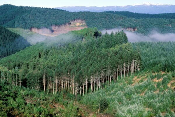
Visualising Forestry Harvesting Cycles
Future risk planning through the visualisation of forestry harvesting cycles. For full information see the programme website
This project has produced

Matarau: Empowering Māori Landowners in Land Use Decisions
Providing accessible and useful data to support Māori landowners to prioritise land-use options. For full information see the programme website
This project has produced
Next Generation Systems
Identifying next generation primary production systems and opportunities to change the face of farming
This project has produced
Linking Legacies to Wai
Accounting for lag times and natural concentrations of contaminants in groundwater
Healthy Estuaries
Assessing the interactions between loadings of different contaminants from freshwaters on the health and functioning of estuaries
This project has produced
Land Use Suitability
Land use suitability tools and assessment processes for increasing land use diversity and delivering better community outcomes.