View Our Strategy Document 2019 – 2024

August 30, 2024


Our Land and Water has now ended.
Our mission was to preserve the most fundamental treasures of Aotearoa – its land and water – while producing value from those same treasures.

Resource Finder
Use one, some or all the filters below to explore our resources, tools & research.
Know what you are looking for? Type below
Or, use our filtered search by selecting as little or as much as you like.
Video
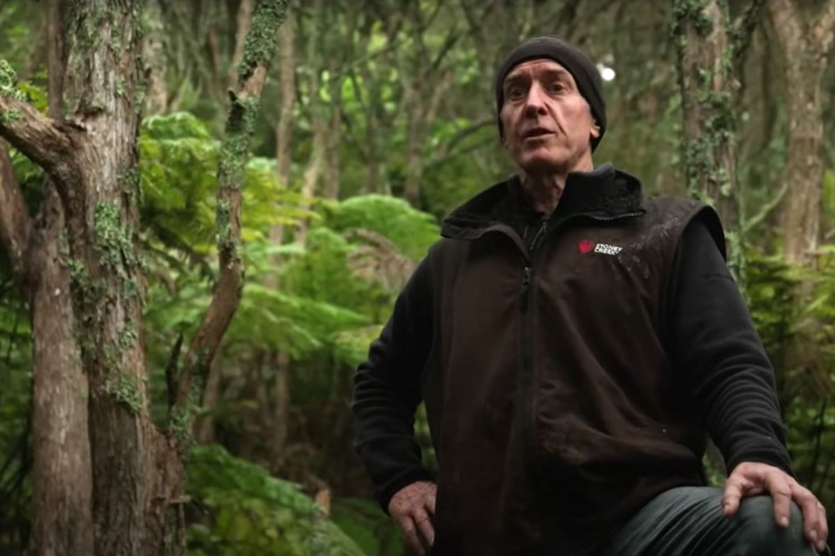
Can Kānuka Increase Pasture Production in New Zealand Hill Country? Research Video
In this research video, we explore the results of Tom Mackay-Smith's PhD at Massey University, measuring the impact of spaced kānuka trees on pasture production,…
Journal Article
Assessing soil health following conversion from forestry to pasture in Canterbury
Soil health was assessed across land conversions from forestry (Pinus radiata) to irrigated dairy pasture. Samples were collected and indicators of soil fertility, organic matter,…
Interactive Tool
Taking a look at the big picture
What are the relationships between soil quality and land value, land pressure on catchments, and water quality? Typically, soil quality monitoring has been used to…
Technical Report
Pā to Plate: Indicators of Success
Pā to Plate (P2P) is an aspirational Māori socio-economic enterprise pilot that was established in 2016 in Tai Tokerau (Northland). Over the past five to…
Summary
How much nitrogen does asparagus need?
A project to develop a best practice guide for the use of nitrogen in asparagus crops in New Zealand was hampered by one of the…
Interactive Tool
Kaupapa Māori Land and Water Food Stories
The website for the Storying Kaitiakitanga project includes insights from ten thriving Māori agrifood producers have been summarised as seperate short, highly readable stories. These…
Journal Article
Role of organic anions and phosphatase enzymes in phosphorus acquisition in the rhizosphere of legumes and grasses grown in a low phosphorus pasture soil
Rhizosphere processes play a critical role in phosphorus (P) acquisition by plants and microbes, especially under P-limited conditions. Here, we investigated the impacts of nutrient…
Technical Report
Measuring real time nitrate leaching from a Hawkes Bay onion Field
The primary objective of this project was to prove that successful real time ‘in situ' nitrate measuring was possible using a nitrate sensor and that…
Journal Article
An integrative approach to silvopastoral system design: perspectives, potentials and principles
Silvopastoral systems have complex impacts on a diverse range of outcomes, making it essential to design these systems using an integrative approach to maximise positive…
Where are we conducting our research?
This interactive map shows the location of all our research projects to help connect you with the research happening in your catchment.
Hover over regions and click to see key information about the projects.
Our Key Collaborators