Project Details Ngā taipitopito
Collaborators Ngā haumi
ART | HortPlus | Lincoln University | NZ Apple & Pears | Plant & Food Research | Winegrowers NZ
What are we doing?E aha ana mātou?
Many plant diseases thrive in warm spring temperatures, and the risk to our $6 billion horticulture sector is likely to increase as climate change impacts New Zealand.
For growers to successfully adapt to climate change, they need to know how future temperature, moisture conditions, and extreme weather events will change disease risks and seasonal plant susceptibility.
This research will predict change in disease risk by integrating the latest climate change scenarios with disease risk and plant phenology models. An economics team will investigate the potential impacts on our global agricultural markets, and on producer and consumer prices in New Zealand. Discussion with industry sectors will explore adaptation options.
A key partner in the research is HortPlus, which has a network of weather stations, and has created the Changing Climate: Disease Risk & Costs tool, a simple user interface on the MetWatch website.
This research will be integrated with the Whitiwhiti Ora – Land Use Opportunities research programme.
How can the research be used? Ka pēhea e whai take ai te rangahau?
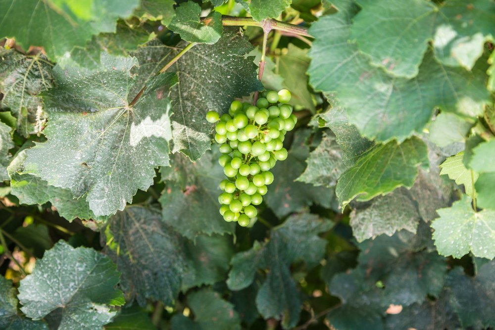
- The Changing Climate: Disease Risk & Costs tool allows people to enter their orchard or vineyard’s address to view the risk of Apple Fire Blight, Grape Powdery Mildew and Grape Botrytis on their crops under different climate change scenarios.
- The research provides a general outlook on trends and changes, to help the New Zealand horticulture industry adjust and adapt to the changing climate. The ability to adapt will be improved if more growers and their sector bodies understand how future temperature and moisture conditions, and extreme weather events such as floods, will affect temperature-dependent horticultural disease risks, productivity, and yield. The research aims to provide answers to specific questions, such as “How many bad fire blight days can I expect today compared to five years from now when my planting matures?”
- Exemplar diseases were selected to represent different disease categories, driven by temperature, wetness or adverse weather events. These pathogens can cause major economic losses (globally estimated at US$220 billion/year), so understanding how the main disease categories are predicted to respond to climate change will prepare the horticulture industry for potential changes in disease risk.
- Adaptation strategies will be developed to manage increased disease threats, that are scientifically based and feasible to implement.
- The research will give the horticulture industry, regional authorities, government bodies, and land stewards the information they need to take pre-emptive actions. The research will support decisions about land use and production methods, such as: prioritising production into areas more suitable geophysically, land use (to grow or not to grow), cultivar (resistance/susceptibility), crop protection (chemical/biological), inoculum management (often physical removal) as well as canopy architecture and structural (training, covered systems) decisions, to mitigate disease epidemics.
- All research findings, including models developed, will be freely available to all interested parties. Models will be hosted by HortPlus/MetWatch and integrated with their existing industry services, with no extra cost to end-users.
- The knowledge will be shared with independent rural consultancy firms and with retail-based consultants.
Related research updates Ngā pānui mō te rangahau nei
Participation & engagement Te hunga i whai wāhi mai
- Stakeholder partnership will inform the modelling and adaption options, and enable the research findings to be integrated with the adaption tools many industries are already developing.
- Industry engagement will be via direct consultation and interaction throughout this programme, to obtain all relevant data for disease risk and cost assessments.
- Māori horticultural businesses are strong and investment in horticultural land development is growing. Initial one-to-one engagements as well as partnering at stakeholder meetings will facilitate the understanding of disease risk and adaptation approaches for the short- and long-term, and the associated costs.
- The programme’s Te Ao Māori lead and her mentors have great interest in linking science with iwi and are planning outreach programmes with local communities.
- This research will be used in related research activities supporting disease management for Māori land in the Eastern Bay of Plenty, Northland, Kaikoura, and other regions.
- This research programme will work closely with the Whitiwhiti Ora programme, which aims to understand and provide relevant information in forms that Māori land users can make land-use decisions. This programme will build on these existing relationships to help disseminate findings to Māori land users.
 View Our Strategy Document 2019 – 2024


