 View Our Strategy Document 2019 – 2024

August 30, 2024


Project Details Ngā taipitopito
Project Status:
Challenge funding:
$514,000Research duration:
July 2022 – September 2023Collaborators Ngā haumi
Land Water People | Manaaki Whenua Landcare Research | Scion
What are we doing?E aha ana mātou?
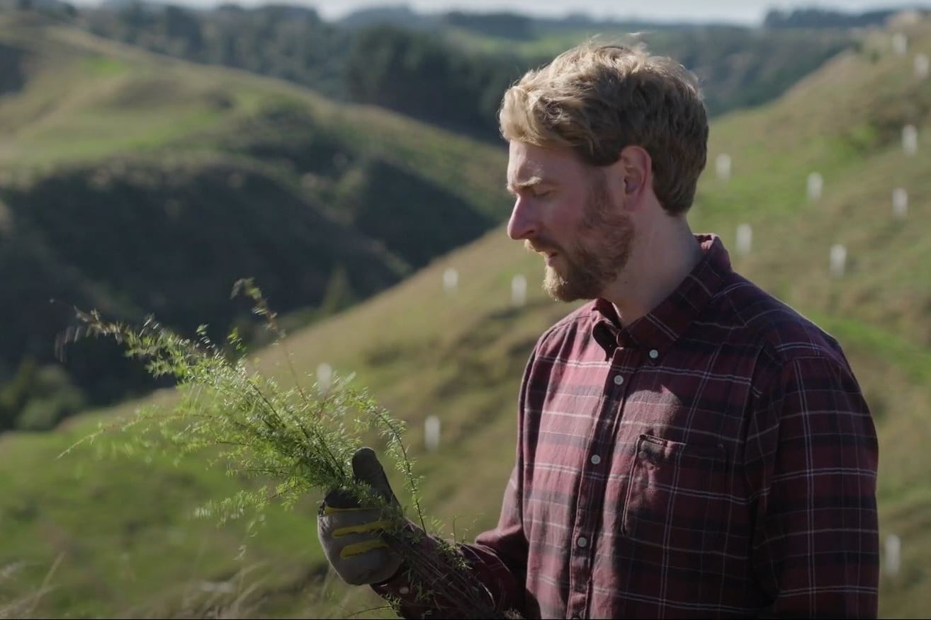
Our Land and Water has a vision of catchments containing mosaics of land uses that are more resilient, healthy, and prosperous than today.
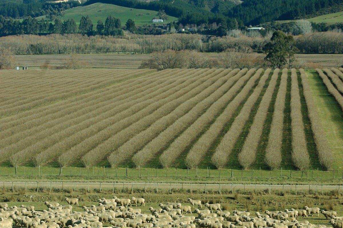
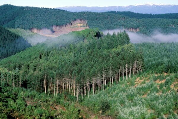
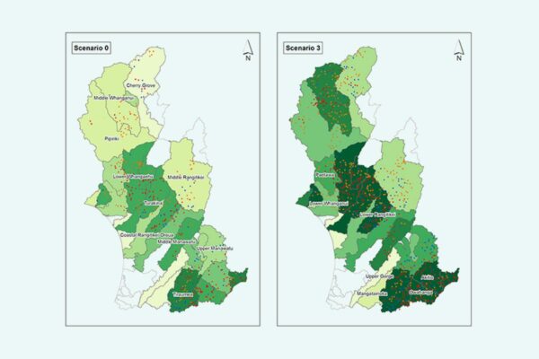
Mosaics exist when a range of land use activities occurs within a landscape. At the national scale there is a mosaic of land uses, but as scale decreases, monocultures increase, such as dairying in Taranaki or horticulture in Pukekohe. At the farm scale, monocultures are the rule in modern agricultural production in New Zealand, with few exceptions (arable land use in Canterbury; forestry integrated with sheep and beef).
This research will test the hypothesis that a transition to a more diverse mosaic of land use will enhance te Taiao, and deliver better environmental, economic, cultural, and social outcomes. This research team will develop an open-source model that can assess the impacts of different patterns and types of mosaics on a range of values that are important to the people of New Zealand.
How can the research be used? Ka pēhea e whai take ai te rangahau?
- This research will develop an open-source model, accessible to all councils and researchers, that will be able to quantify the outcomes of land use scenarios, and create land use scenarios by selecting objectives.
- The model will assess the impact of mosaics at sub-catchment, regional, and national scales on a range of metrics (including NOF attributes, greenhouse gas emissions and profitability). The sub-catchment, catchment and national scale modelling will require the development of an integrated modelling technique for assessing outcomes under different land use mosaics. This will build on existing models and integrate N, P, sediment, microbial contamination, biodiversity, and greenhouse gases.
- Major policy reforms over the next year will require regional planners to implement a single strategic plan for their region that integrates all the implications of land use. This work will provide useful input into this process through the underlying datasets, the results describing how mosaics can contribute to the solution, and the modelling capability.
- The project will provide advice to policymakers in central government about the implications of mosaics of land use for management and regulation of land and water.
- This research is providing information and support to the Parliamentary Commissioner for the Environment, for a mosaic modelling case study in the Mataura catchment, for mosaic modelling case studies and possibly the Northland case study.
Participation & engagement Te hunga i whai wāhi mai
- This project is being informed by a stakeholder group that includes regional councils, industry groups, and other interested stakeholders.
- Representatives of regional councils in the stakeholder group will support the research team to identify appropriate mechanisms for increasing understanding of the available information, tools and models. There will also be ongoing engagement with regional councils. The research team includes representatives of regional councils on the stakeholder group, for support identifying appropriate mechanisms for increasing understanding of the available information, tools, and models.
- The modelling work in this project will be developed with a group of stakeholders who have direct interest in the work, and their areas of interest and concerns will both influence the direction of the research but will also be informed by the work and its outcomes.
- There will be engagement with industry organisations throughout the project. Case studies and reports will be provided for their communication and extension programmes.
Research team Te hunga i whai wāhi mai
Science Lead / Project Manager
Simon Harris
Land Water People
Te Ao Maori Lead / Implementation Lead
Reina Tamepo
Te Whānau ā Apanui, Ngāti Porou, Ngāti Awa
Scion
Caroline Fraser
Land Water People
Linda Lillburne
Manaaki Whenua Landcare Research
Alex Herzig
Manaaki Whenua Landcare Research
Dan Richards
Manaaki Whenua Landcare Research
Tools & resources Ngā utauta me ngā rauemi
Technical Report
Mosaics Testing Model
Our modelling indicates that while more mosaic-y landscapes are likely to produce somewhat better outcomes in profitability terms, the differences are likely to be small.…
Guidance
Why Pines? A context for recent research results which appear to support land conversion into pine forestry
Four research programmes funded by the Our Land and Water (Toitū te Whenua, Toiora te Wai) National Science Challenge (OLW) and completed in autumn 2024…
Related news
Future Landscapes Projects
Visualising Forestry Harvesting Cycles
Future risk planning through the visualisation of forestry harvesting cycles. For full information see the programme website
This project has produced
Matarau: Empowering Māori Landowners in Land Use Decisions
Providing accessible and useful data to support Māori landowners to prioritise land-use options. For full information see the programme website
This project has produced
Next Generation Systems
Identifying next generation primary production systems and opportunities to change the face of farming
This project has produced
Measuring Denitrification
The development of a method for measuring denitrification is a first for New Zealand, providing vital data for understanding natural denitrification processes
This project has produced
Faecal Source Tracking
Identifying the sources of faecal contamination in waterways, and identifying naturalised Escherichia coli to help establish water quality for swimming
Cascade of Soil Erosion
Developing sediment models to enable land managers, water users, communities and iwi to set sediment-related water quality targets