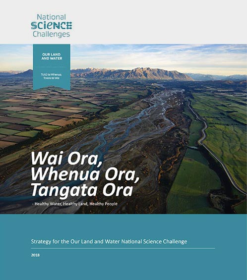
 View Our Strategy Document 2019 – 2024
August 30, 2024
Our Land and Water has now ended.
Our mission was to preserve the most fundamental treasures of Aotearoa – its land and water – while producing value from those same treasures.

News

Resource Finder
Use one, some or all the filters below to explore our resources, tools & research.
Know what you are looking for? Type below
Or, use our filtered search by selecting as little or as much as you like.
Showing 1 - 9 of 994 results

Video
Peri-Urban Potential webinar
Rethinking the land around cities can tackle both our food and housing crises. This webinar will share research showing that we could improve our food,…

Summary
Supercharge your data collection when participating in community-based monitoring of freshwater environments
A brochure for rural community and catchment groups, explaining how the data they collect can help detect changes in freshwater quality – but only if…

Technical Report
Climate change impacts on land use suitability
This report aims to assist land managers and natural resource planners to assess the resilience of agricultural land uses across New Zealand and to inform…
Technical Report
Place-based approaches to assessing the impact of regenerative agriculture in NZ
Research on regenerative agriculture in New Zealand might benefit some regions more than others, finds this report. Regions that are likely to experience the effects…
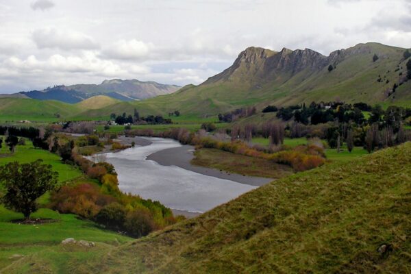

Synthesis Scenarios for Future Land Use
Steering land use change to meet water quality targets, through the synthesis of Our Land and Water research
This project has produced


Journal Article
Potential groundwater recharge zones across New Zealand
Knowledge of groundwater recharge potential is required for sustainable groundwater management, including the assessment of vulnerability to contamination. This study maps (at 500m x 500m…
Journal Article
Temporal Changes in Cd Sorption and Plant Bioavailability in Compost-Amended Soils
The application of Cd-contaminated phosphate fertiliser has enriched concentrations of this non-essential element in many agricultural soils. Consequently, concentrations of the metal in some agricultural…

Method
Lower Cost Native Restoration of Farmland: Tīmata Method Fact Sheet
This six-page fact sheet on the Tīmata Method has been developed for New Zealand land owners. The Tīmata Method, which in Māori translates to begin,…
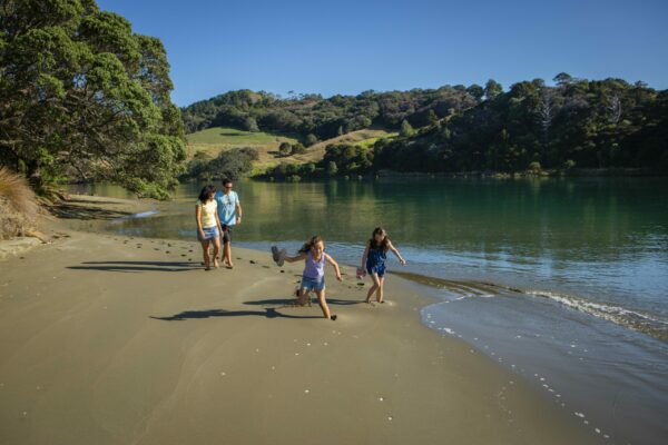
Healthy Estuaries
Assessing the interactions between loadings of different contaminants from freshwaters on the health and functioning of estuaries
This project has produced

Where are we conducting our research?
This interactive map shows the location of all our research projects to help connect you with the research happening in your catchment.
Hover over regions and click to see key information about the projects.
Our Key Collaborators