Land Use Suitability Analyser Now Prototyped For Use in Southland
A prototype land use suitability analyser, co-developed with Environment Southland, suggests both productive and environmental improvements are possible.
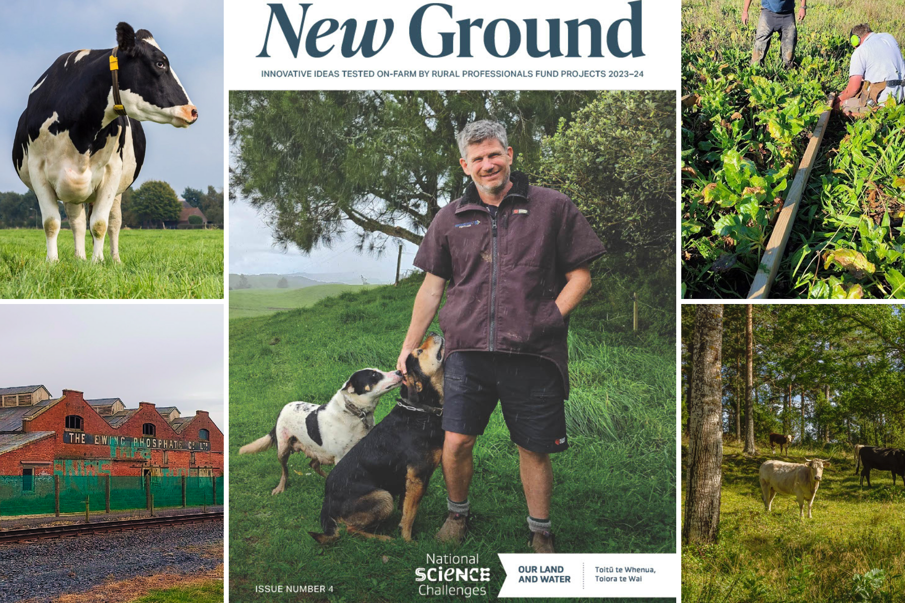
A prototype ‘Productivity within Environmental Constraints’ analyser has been developed by the Land Use Suitability programme, as part of the Our Land and Water National Science Challenge.
The prototype analyser, co-developed with Environment Southland to inform decisions in the region, brings together multiple existing tools, including the digital river network, SPARROW catchment model, OVERSEER nitrogen model, land use classification, and spatial data layers with physiographic zones for Southland.
The analyser includes three indicators to evaluate land-water systems:
- Productive potential, describing the inherent productive and economic potential of land parcels
- Relative contribution, describing the potential for a land parcel to contribute contaminants (relative to other land parcels) to downstream receiving environments after taking into account processes such as attenuation
- Pressure, describing the contaminant load delivered to a receiving environment, after taking into account measures to mitigate delivery or impact, compared to the load that ensures environmental objectives are met
The Southland prototype uses nitrogen as the contaminant of concern, and the National Objectives Framework periphyton attribute and Estuarine Trophic Indicator for the pressure indicator. The prototype generates maps of the three indicators for all catchments in Southland.
The maps can be used to identify land parcels with headroom to intensify production without adverse environmental impacts, and land parcels that are delivering a relatively high load of contaminants under current land use and management.
Environment Southland now has a critical role in providing reality checks
Co-development with Environment Southland occurred through multiple workshops and design iterations, with a showcase meeting in April 2018. Environment Southland now has a critical role in providing reality checks, confirming whether assessments are consistent with regional knowledge, and guidance about real-world applications.
The Land Use Suitability programme, led by Scott Larned of NIWA, provides nationally applicable direction on the future of land use planning for environmental, economic, social and cultural impact. The chief developer of the prototype analyser is Ton Snelder of Land Water People.
The work required a multi-organisational team from NIWA, Manaaki Whenua Landcare Research, Plant & Food Research, Land Water People, University of Otago, Tipa and Associates, regional councils, and AgResearch. All worked in a transdisciplinary way, seeing the issue from multiple perspectives to create and test new knowledge.
The Land Use Suitability concept will not be successful unless delivered through co-innovation, including being robustly tested and widely used at each step. That is because land use planning in New Zealand has been focused on the maximum economic value the land is capable of producing, rather than the most suitable production system for the land, its receiving environment and the wider community.
Land Use Suitability research aims to provide an objective system to balance the sustained productive potential of land with the constraints required to ensure that environmental objectives such as good water quality are achieved. The Land Use Suitability concept has been discussed by the Land and Water Forum for consideration by the Minister for the Environment to inform allocation processes.
—
For more on this research project, see:
Author
 View Our Strategy Document 2019 – 2024


