View Our Strategy Document 2019 – 2024

August 30, 2024


Our Land and Water has now ended.
Our mission was to preserve the most fundamental treasures of Aotearoa – its land and water – while producing value from those same treasures.


Resource Finder
Use one, some or all the filters below to explore our resources, tools & research.
Know what you are looking for? Type below
Or, use our filtered search by selecting as little or as much as you like.
Showing 1 - 9 of 994 results
Technical Report
Implications of global price and supply of supplementary feeds on the New Zealand agricultural sector
This report outlines some of the complexities of the global grain and PKE markets and the associated risks with being very reliant on IPF. It…
Journal Article
Predicting improved optical water quality in rivers resulting from soil conservation actions on land
Soil conservation not only conserves soil but it improves the water clarity of water in rivers. This improvement may be estimated by the methods shown…
Summary
Research Findings Brief: Current state of water contaminants compared to bottom lines
This short, plain-language Research Findings Brief is for regional council planners and central government policy analysts. The briefing document summarises research that evaluated the current…
Guidance
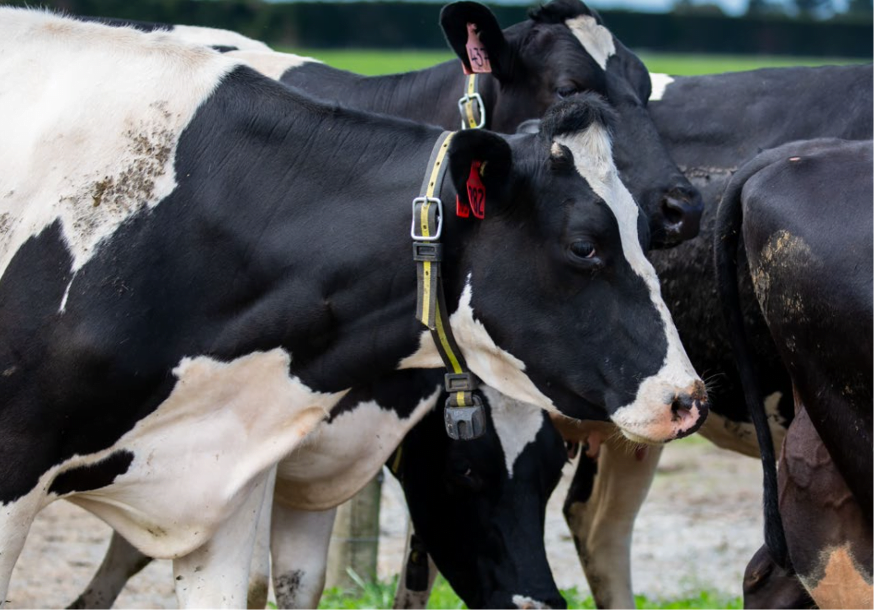
Using farm dairy effluent on free-draining soils
Additional measures, on top of regulations and industry good practice and guidelines, may be needed to minimise P losses from FDE applied to free-draining soils.…
Summary
Sensors increase understanding and interest
Real-time nitrate sensors increased farmer understanding of contaminant pathways through their farm and the impact of rainfall events, and grew community interest in water quality…
Journal Article
Enabling a transformation to a bioeconomy in New Zealand
The 2009 OECD call for a global transition towards a bioeconomy has resulted in a number of nations adopting national or regional strategies to develop…
Journal Article
Reference conditions and threshold values for nitrate-nitrogen in New Zealand groundwaters
Management of groundwater quality is assisted by an understanding of reference conditions, which describe the concentration ranges expected for key substances in the absence of…
Journal Article
Phosphorus transport in subsurface flow from a stony soil under irrigated and non-irrigated lucerne
The extent of phosphorus (P) loss from soils under deep-rooting crops such as lucerne is currently unknown. This study used large lysimeters (2.0 by 1.5…
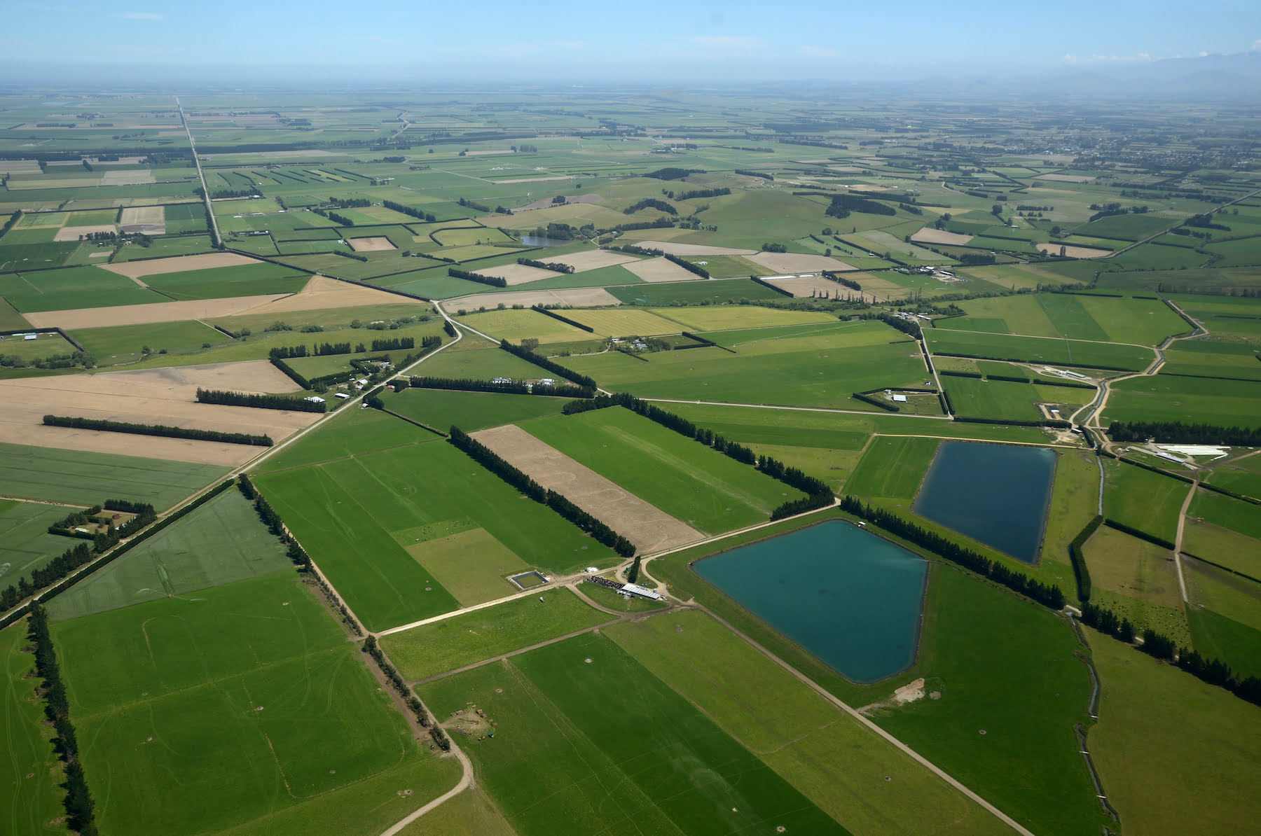
Where are we conducting our research?
This interactive map shows the location of all our research projects to help connect you with the research happening in your catchment.
Hover over regions and click to see key information about the projects.
Our Key Collaborators