View Our Strategy Document 2019 – 2024

August 30, 2024


Our Land and Water has now ended.
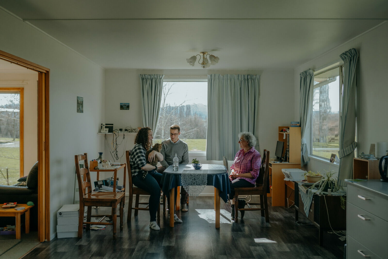
Our mission was to preserve the most fundamental treasures of Aotearoa – its land and water – while producing value from those same treasures.

Resource Finder
Use one, some or all the filters below to explore our resources, tools & research.
Know what you are looking for? Type below
Or, use our filtered search by selecting as little or as much as you like.
Showing 1 - 9 of 994 results
Presentation
De-Risking Land-Use Transformation in New Zealand
Agricultural Economics Society, April 2019, Belgium
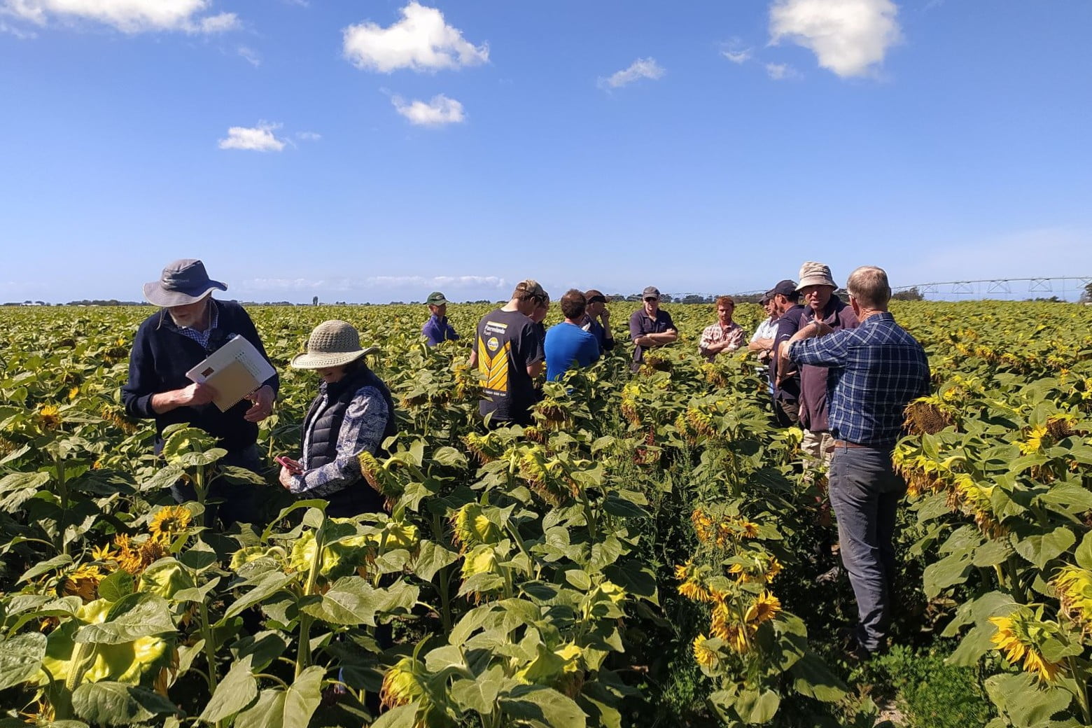
Workforce Implications of Land-Use Change
Investigating workforce as a constraint on land-use changes
This project has produced
Presentation
Examining co-production and the role of brokers within NZ's ‘science advisory ecosystem'
A crisis in expertise: Legitimacy and the challenge of policymaking conference, Melbourne. February 2018 | Society for Social Studies of Science (4S), September 2018
Technical Report
Regenerative principles applied in New Zealand
This report summarises and describes 11 principles drawn from multiple focus groups with NZ farmers and growers. Some principles are focused on encouraging farm practices…
Journal Article
The effect of irrigation and urine application on phosphorus losses to subsurface flow from a stony soil
Factors such as irrigation and soil pH can increase the solubility of P and its loss to water. Urine patches are known to alter pH…
Presentation
Science to policy and back again: compliant land use practices still cause P leaching
NZ Freshwater Sciences Conference – December 2018
Technical Report
Daffodil production for galanthamine
Galanthamine is a bioactive that has proven effect to reduce the effect of Alzheimer’s. A source of natural galanthamine is from daffodils, but only certain…
Video
Digital Toolshed: LandscapeDNA (5 July 2023)
The LandscapeDNA information hub gives you access to interactive maps that allow you to explore land right down to property scale, and understand which contaminants…
Technical Report
EU Green Deal: Impact on New Zealand’s Land-based Primary Producers
Several areas of focus for the EU Green Deal are likely to pose significant challenges for New Zealand’s export sectors, not only directly in the…
Where are we conducting our research?
This interactive map shows the location of all our research projects to help connect you with the research happening in your catchment.
Hover over regions and click to see key information about the projects.
Our Key Collaborators