View Our Strategy Document 2019 – 2024

August 30, 2024


Our Land and Water has now ended.
Our mission was to preserve the most fundamental treasures of Aotearoa – its land and water – while producing value from those same treasures.

News
Resource Finder
Use one, some or all the filters below to explore our resources, tools & research.
Know what you are looking for? Type below
Or, use our filtered search by selecting as little or as much as you like.
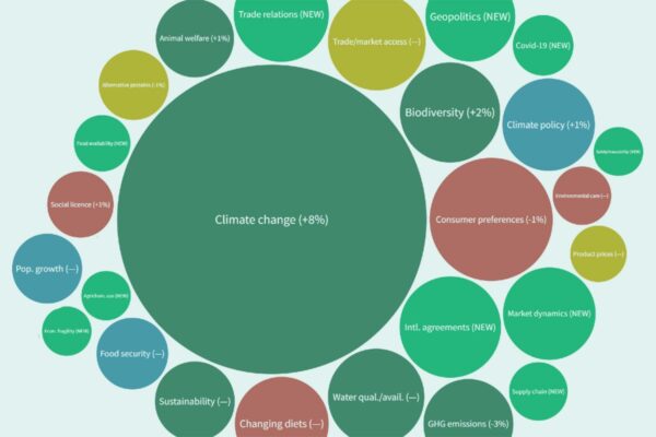
The Matrix of Drivers
A foundational understanding of international and domestic drivers and issues, and their importance to the primary sector
This project has produced
Technical Report
A Waka-Taurua social licence to operate framework
While not a blueprint for developing social licence to operate (SLO), the Waka-Taurua framework does serve as a guide to what information needs to be…
Presentation
Sink or swim: A radical overhaul to water policy-making approach in NZ: A case study of lake Te Waihora
4th International water resources and wetlands conference, Tulcea, September 2018
Journal Article
Quantifying contaminant losses to water from pastoral land uses in NZ III: What could be achieved by 2035?
To meet the water quality outcomes sought by catchment communities and regulators, the losses of nitrogen (N), phosphorus (P) and sediment from dairy and sheep/beef…
Ngā Tai-o-Rongo
Revitalising ancestral knowledge systems to provide a pathway for Māori landowners to work with the environment, rather than on the environment.
This project has produced
Guidance
11 Insights to Co-design Place-based Approaches to Purposeful Change and Resilience
In 2020, a group of 25 individuals from agribusiness, community, government, and industry came together to draw from te ao Māori and te ao Pākehā…
Journal Article
Collective storytelling as a river restoration tool: The role of catchment communities in inspiring environmental change
In Aotearoa New Zealand, catchment communities have been actively working to restore the health of their rivers, in some cases for many decades. Their knowledge…
Video
Digital Toolshed: LandscapeDNA (5 July 2023)
The LandscapeDNA information hub gives you access to interactive maps that allow you to explore land right down to property scale, and understand which contaminants…
Video
Information // The Value Chain Compass
A global value chain from New Zealand producers to overseas consumers can be lengthy, involving several links in the chain and diverse cultures. This means…
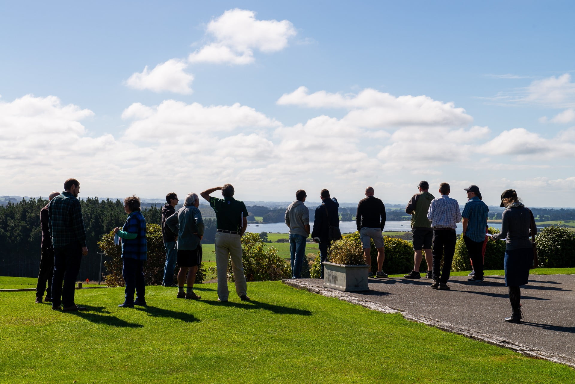
Where are we conducting our research?
This interactive map shows the location of all our research projects to help connect you with the research happening in your catchment.
Hover over regions and click to see key information about the projects.
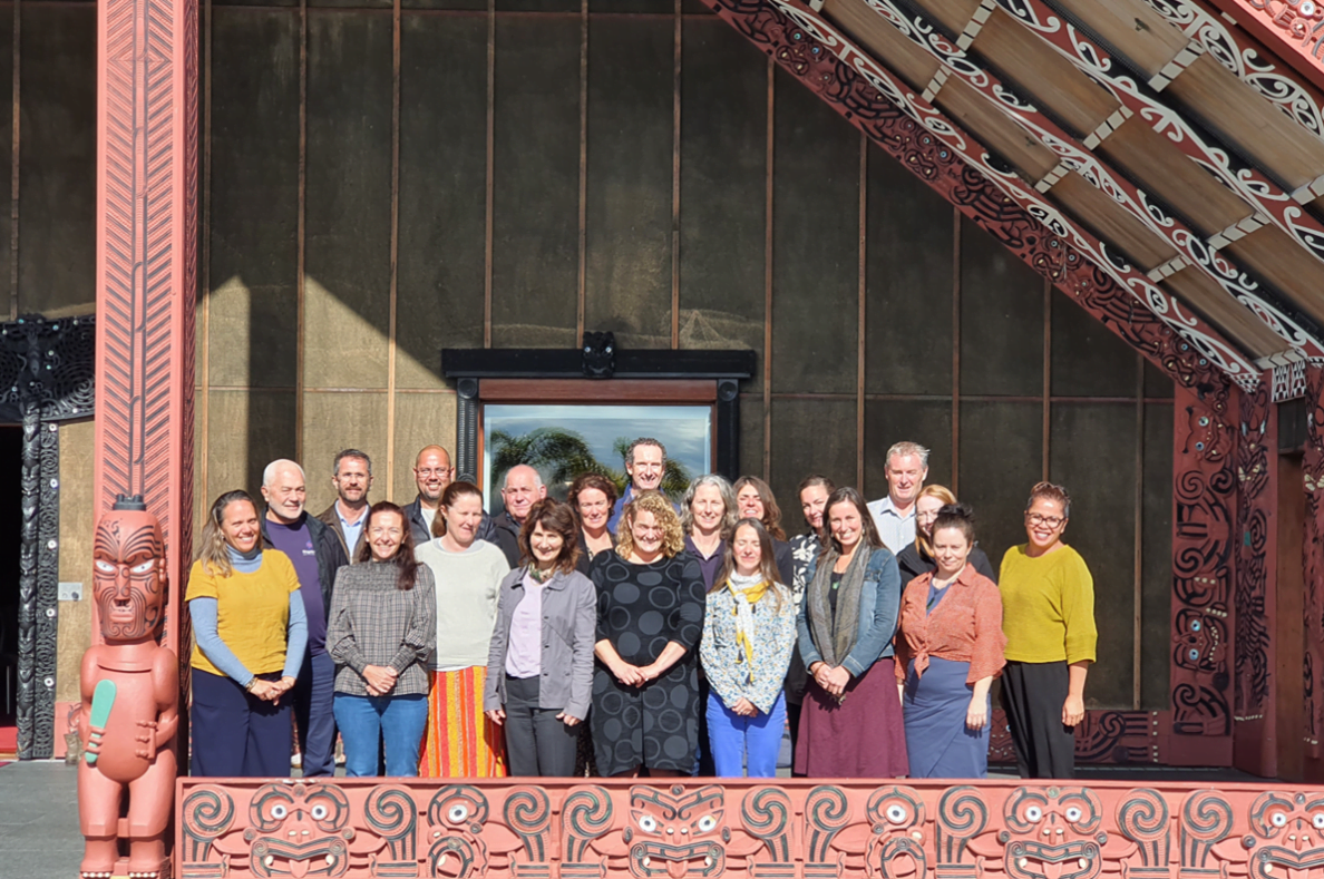
Our Key Collaborators