In Some Places, Intense Land Use Will Be Okay
In areas where natural denitrification processes have a high capacity to reduce nitrogen, research suggests it's possible to both intensify land use and improve water quality – as long as land-use is de-intensified over the low-attenuation-capacity areas in the same catchment
Cattle urine and many fertilisers contain nitrogen, and increasing dairy cow numbers in New Zealand have led to nitrate leaching becoming the most pervasive agricultural contaminant of our fresh water. Around 40% of groundwater monitoring sites show above-natural nitrate concentrations.
Not all of the nitrate that's leached from grasslands reaches waterways, however. There are natural denitrification processes that convert nitrate back into atmospheric nitrogen gas, either through soil bacteria or microorganisms in groundwater, before it enters freshwater bodies such as streams and lakes.
Research part-funded by the Our Land and Water National Science Challenge has contributed to greater understanding and improved measuring of these natural denitrification processes.
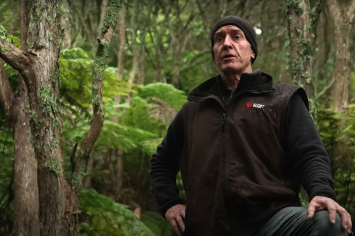
Researchers have discovered unexpectedly large spatial variations in the capacity of these natural denitrification processes to reduce nitrogen, even within the same catchment. “This leads you to conclude that some parts of a catchment are contributing disproportionately to river contamination,” says Dr Ranvir Singh of Massey University, a key researcher in both projects.
“That is a very interesting research finding, because we did not know that this nitrate reduction underground is that variable, and we are not utilising it properly.”
Intensifying land use in 83,000ha of high nitrate attenuation capacity areas, while de-intensifying land use over 10,000ha of low nitrate attenuation capacity areas, could decrease the nitrate load in the Rangitikei river by 6%
A study in the Rangitikei river catchment in the lower North Island provides an interesting case study. The Massey University-led research, funded by Horizons Regional Council and Dairy NZ, analysed the likely result of strategically intensifying land use in more than 83,000ha of high nitrate attenuation capacity areas in the catchment – while de-intensifying land use over about 10,000ha of low nitrate attenuation capacity areas.
It found that nitrate loss from the root zone would increase by 55%, but because the leached nitrate flowed over high nitrate attenuation areas where a lot of denitrification occurred, most of this leached nitrogen was converted to gas. The result? Overall, the nitrate load in the river could decrease by 6%.
“The same intensification in a catchment where little natural denitrification occurs would likely show a significantly poorer outcome for water quality,” says Dr Singh.
This highlights the potential of better understanding natural denitrification, and aligning intensive land use practices with high nitrogen attenuation capacity areas, “matching land use with land suitability,” says Dr Singh.
After this research was completed, the question of ‘pollution swapping' was raised: Would land-use intensificaton in high nitrogen attenuation capacity areas simply swap decreased nitrate contamination for increased nitrous oxide emissions?
The Our Land and Water National Science Challenge funded the Benign Denitrification in Groundwaters research project to check whether this was the case.
It’s important to map complete benign denitrification, because incomplete denitrification can release nitrous oxide (a harmful greenhouse gas) rather than dinitrogen (a harmless gas making up 78% of the atmosphere).
Benign Denitrification in Groundwaters researchers took observations in the catchment again, and confirmed the denitrification was benign. The research team is now developing tools and techniques to quickly and accurately assess benign denitrification processes in the Manawatu and Rangitikei river catchments.
The team recently completed further analysis in the Rangitikei and Manawatu catchments, that assessed the potential of spatial alignment of land use, and emerging edge-of-field technologies and practices to manage nitrogen critical flow pathways and attenuation. This was presented as an invited keynote at the Australian Dairy Science Symposium in Palmerston North in November 2018. A journal article has been submitted and is currently under review.
Measuring Denitrification is a complementary project led by Dr Uwe Morgenstern of GNS Science, which has developed and proven the first direct technique for measuring the extent of complete benign denitrification in groundwaters across New Zealand.
Eventually, complete benign denitrification hotspots will be measured and mapped across New Zealand’s agricultural catchments.
Dr Singh welcomes contact from regional councils who are interested in discussing undertaking similar research in their region.
—
For more on this research, see:
Author
One response to “In Some Places, Intense Land Use Will Be Okay”
Are the denitrification areas defined by contour, tree cover, land use or other factors?
 View Our Strategy Document 2019 – 2024


Leave a Reply