View Our Strategy Document 2019 – 2024

August 30, 2024


Our Land and Water has now ended.
Our mission was to preserve the most fundamental treasures of Aotearoa – its land and water – while producing value from those same treasures.

Resource Finder
Use one, some or all the filters below to explore our resources, tools & research.
Know what you are looking for? Type below
Or, use our filtered search by selecting as little or as much as you like.
Showing 1 - 9 of 994 results
Journal Article
Determining the likelihood and cost of detecting reductions of nitrate‑nitrogen concentrations in groundwater across New Zealand
Nitrate‑nitrogen (NO3-N) is a contaminant of concern in groundwater worldwide. Stakeholders need information on the ability to detect changes in NO3-N concentrations to prove that land management…
Technical Report
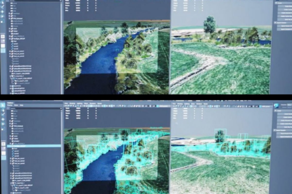
Systems Thinking for Future Farm System Design
A farming business is an example of a complex and integrated system. Integrated systems (such as those involving land, water, air and people) are good…
Journal Article
Meat insights: Uruguayan consumers’ mental associations and motives underlying consumption changes
A telephone survey (n = 601) was conducted in Uruguay to explore participants’ mental associations with meat and the underlying reasons changes in the quantity…
Infographic
Four Steps to Develop Connected Local Farm Plans
To make farm plans an effective tool for improving waterways, we propose a four-step approach based on collective action delivered by catchment groups. Planning together…
Summary
Te Ao Māori Approaches to Farming Enable Effective Local Solutions
The systems-thinking, holistic approaches to farming in te ao Māori have been demonstrated to enable effective local solutions, leading the way for others. This article…
Journal Article
Demonstrating efficacy of on-land management actions to improve water quality: How can we quantify what actions have been done?
We reviewed 91 global publications and proceedings between 1989 and 2019 which assessed the complexities related to recording and reporting sustainable land use actions with…
Technical Report
Biological test of soil health using molecular techniques: Final report
During the feasibility stage of the project, we were able to identify suitable primers for the most common earthworms found within each earthworm ecological group…
Method
A method to derive nitrogen transport factors for New Zealand’s agricultural lands
Risk index tools have the potential to assist farmers in making strategic decisions regarding their farm design to manage losses of nutrients. Such tools require…
Video
Our Land and Water Podcast Episode 1: How bad is our water quality, really?
For the past eight years, Our Land and Water has funded research with the goal of improving the health of our rivers and lakes here…
Where are we conducting our research?
This interactive map shows the location of all our research projects to help connect you with the research happening in your catchment.
Hover over regions and click to see key information about the projects.
Our Key Collaborators