View Our Strategy Document 2019 – 2024

August 30, 2024


Our Land and Water has now ended.
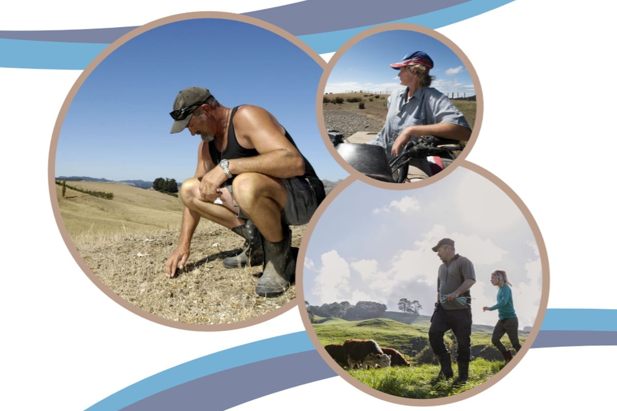
Our mission was to preserve the most fundamental treasures of Aotearoa – its land and water – while producing value from those same treasures.

News

Resource Finder
Use one, some or all the filters below to explore our resources, tools & research.
Know what you are looking for? Type below
Or, use our filtered search by selecting as little or as much as you like.
Technical Report
eDNA as a holistic measure of pastoral landscape effects on taonga species
Freshwater quality is measured with key indicators such as faecal indicator bacteria (E. coli), nitrates and phosphates. For communities, such indicators are vague and somewhat…
Journal Article
In recognition of Mike Hedley: fate of fertiliser in soil and mobilisation of recalcitrant nutrients
This special issue brings together papers that examine topics studied during the career of Professor Mike Hedley, a soil scientist now retired and living on…
Journal Article
Climate change impacts on erosion and suspended sediment loads in New Zealand
• Modelling climate change impacts on national erosion and sediment loads is challenging. • Framework for estimating future load contributions from predominant erosion sources presented…
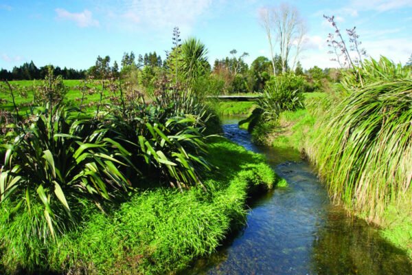
Reasons for Water Quality Improvement
Investigating the reasons for decreasing phosphorus concentrations in many waterways
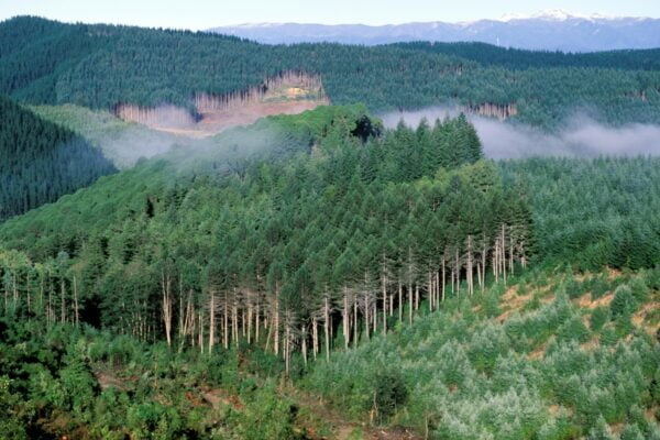
Visualising Forestry Harvesting Cycles
Future risk planning through the visualisation of forestry harvesting cycles. For full information see the programme website
This project has produced
Video
The Potential of Silvopastoralism in New Zealand: Research Video
In this research video, we explore the findings of an Our Land and Water project we did exploring the potential of silvopastoralism in New Zealand.…
Technical Report
Interoperable Models for Land and Water Framework selection and preliminary design
This report presents a proposal for the development of an interoperable modelling system suitable for integrated spatial assessment the economic, production and environmental implications of…
Guidance
Towards developing Aotearoa value chains – flyer
One of the most interesting findings from the Rewarding Sustainable Practices research programme was the importance of sets of shared values across the value chain.…
Infographic
Summary: One Whenua, One Health Framework
A 2-page visual summary of the One Whenua, One Health concept and it’s potential relevance for assessing Regenerative farms.
Where are we conducting our research?
This interactive map shows the location of all our research projects to help connect you with the research happening in your catchment.
Hover over regions and click to see key information about the projects.
Our Key Collaborators