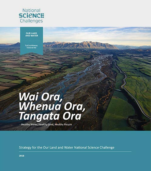
 View Our Strategy Document 2019 – 2024
August 30, 2024
Our Land and Water has now ended.
Our mission was to preserve the most fundamental treasures of Aotearoa – its land and water – while producing value from those same treasures.

Resource Finder
Use one, some or all the filters below to explore our resources, tools & research.
Know what you are looking for? Type below
Or, use our filtered search by selecting as little or as much as you like.
Showing 1 - 9 of 994 results

Guidance
Impacts of sediment on aua yellow-eyed mullet
This is one of a collection of 11 fact sheets bringing together existing scientific information on the impacts of sediment on freshwater and estuarine fish…

Video
Revitalise Te Taiao seminar: Whenua, Life, Values
Dr John Reid was a special guest speaker at the Revitalise te Taiao seminar recently held in Te Whanganui-a-Tara (Wellington). Dr Reid presented on the…

Journal Article
Soil hydraulic modelling outcomes with four parameterization methods: Comparing soil description and data inversion approaches
Different methods for parameterizing soil hydraulic models can lead to substantially varied predictions of soil–plant–atmosphere water fluxes. This study investigated, for a heterogeneous stony soil,…
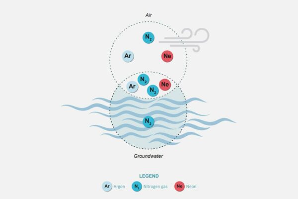

Measuring Denitrification
The development of a method for measuring denitrification is a first for New Zealand, providing vital data for understanding natural denitrification processes
This project has produced


Video
Future Land Use Opportunities video
An animated illustration of a diversified farm of the future in Aotearoa New Zealand. A static illustration is also available. CC-BY-NC-ND-4.0, Yasmine El Orfi for…

Technical Report
Protein Futures: Future Scenarios for Land-Use in Aotearoa New Zealand Synthesis Report
The Protein Future Scenarios project was designed to provide insight to the potential implications of alternative proteins (including plant-based, fermentation and cellular) for land use…
Journal Article
Consumer Willingness to Pay Price Premiums for Credence Attributes of Livestock Products – A Meta-Analysis
Livestock products, such as dairy and beef, are increasingly regarded as resource intensive and concerns are raised about animal welfare and environmental sustainability. As a…
Video
Science for Policy – The Regulatory Process
This webinar describes the results of an in-depth study into the role that science played in the development of the National Policy Statement for Freshwater…
Guidance
Monitoring total nitrogen in lakes
Nitrogen is an essential nutrient for the growth of plants and algae. Whilst nitrogen is present naturally in lakes, concentrations may be elevated due to…
Where are we conducting our research?
This interactive map shows the location of all our research projects to help connect you with the research happening in your catchment.
Hover over regions and click to see key information about the projects.
Our Key Collaborators