View Our Strategy Document 2019 – 2024

August 30, 2024


Our Land and Water has now ended.
Our mission was to preserve the most fundamental treasures of Aotearoa – its land and water – while producing value from those same treasures.

Resource Finder
Use one, some or all the filters below to explore our resources, tools & research.
Know what you are looking for? Type below
Or, use our filtered search by selecting as little or as much as you like.
Showing 1 - 9 of 994 results
Journal Article
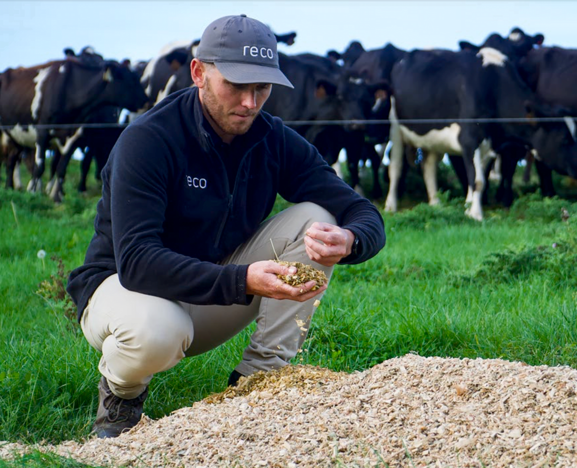
Beyond Sustainable Intensification: Transitioning primary sectors through reconfiguring land-use
Internationally there is a desire to transition farming systems towards more sustainable production in response to global and local social and environmental challenges. This transition…
Journal Article
How much less? Estimating price discounts for suboptimal food with environmental and social credence attributes
Price discounting strategies for suboptimal food perform an essential part in reducing food waste. This study provides new information empirically estimating discounts for levels of…
Summary
Project Summary: What are the Best Sediment Traps for my Hill Country Stream?
This article summarises the results of a Rural Professionals Fund project that aimed to evaluate the effectiveness of three different sediment traps within the same…
Technical Report
The Matrix of Drivers: 2019 Update
This 2019 report identifies key trends and challenges with potential to impact land use in New Zealand, prioritised by primary sector leaders, with open access…
Journal Article
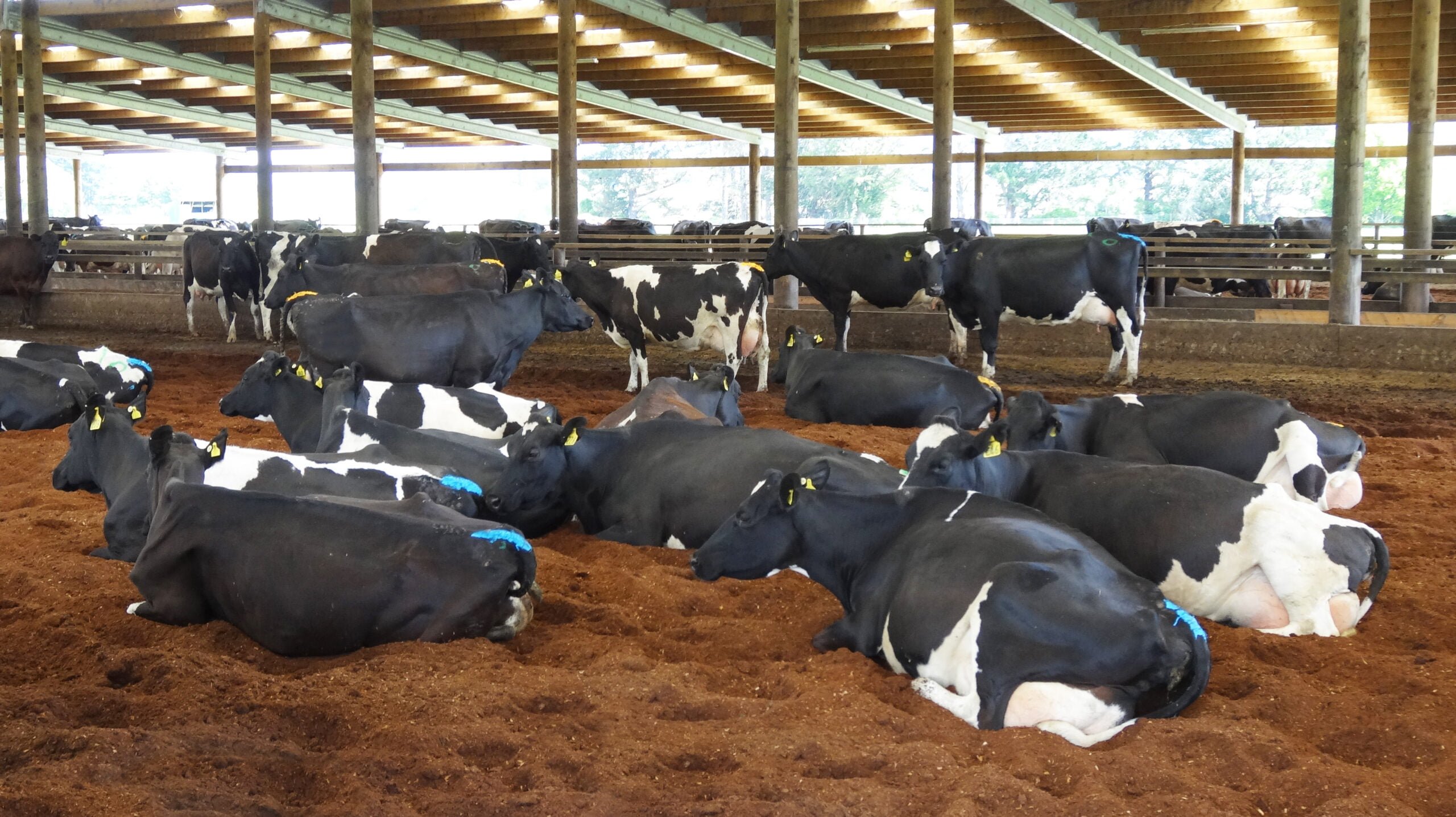
The longevity of fencing out livestock as a method of decreasing contaminant concentrations in a headwater stream
Water quality can be improved by fencing off streams from livestock. However, the remedial effect of fencing can fail as livestock trample near stream areas.…
Journal Article
Resilience is a meaningful, measurable trait of communities
Community resilience can be quantified using available data to inform policy decisions. Identifying vulnerable or deprived communities in New Zealand is straightforward because social, cultural…
Technical Report
The Case for a Novel Edible Nut Agroforestry System
This paper reviews the case for a novel agroforestry system in the Rotorua lakes catchments, based on an interest in trees that can produce edible…
Interactive Tool
Bread in New Zealand
Online tool to access and analyse results of a survey of bread consumers in New Zealand about their consumer behaviour, preferences, and country-of-origin preferences
Interactive Tool
Actions to Include in a Farm Environment Plan
This interactive infographic is a compilation of actions to decrease the loss of contaminants from agricultural land. Mitigation actions can be filtered by any of…
Where are we conducting our research?
This interactive map shows the location of all our research projects to help connect you with the research happening in your catchment.
Hover over regions and click to see key information about the projects.
Our Key Collaborators