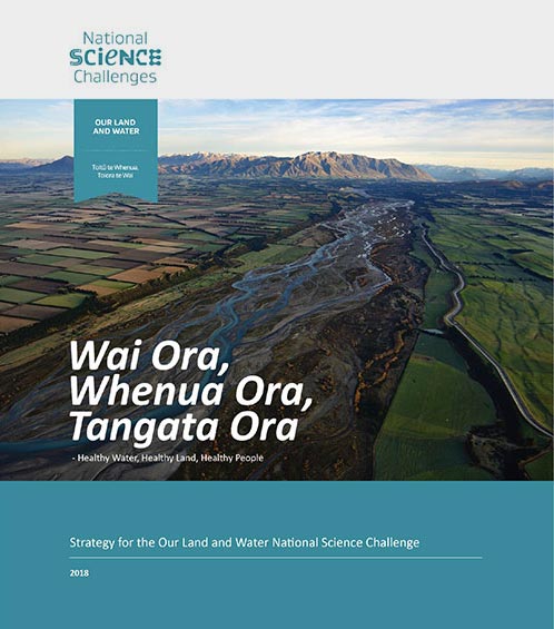
 View Our Strategy Document 2019 – 2024
August 30, 2024
Our Land and Water has now ended.
Our mission was to preserve the most fundamental treasures of Aotearoa – its land and water – while producing value from those same treasures.

News
Sorry, we couldn't find any posts.
Resource Finder
Use one, some or all the filters below to explore our resources, tools & research.
Know what you are looking for? Type below
Or, use our filtered search by selecting as little or as much as you like.
Showing 1 - 9 of 994 results

Video
Worker Requirements Webinar
Labour shortages in the agrifood sector were highlighted when Covid-19 closed borders, but the underlying shortages go back further. For example, the conversion of sheep,…

Technical Report
Bridging whenua enhancement plans with the next generation of Kaitiaki
In this research project funded by Our Land and Water, we worked with two case-study incorporations located in Otago, New Zealand to explore the barriers…

Summary
Te Ao Māori Approaches to Farming Enable Effective Local Solutions
The systems-thinking, holistic approaches to farming in te ao Māori have been demonstrated to enable effective local solutions, leading the way for others. This article…
Technical Report
Agrivoltaics: Integrating Solar Energy Generation with Livestock Farming in Canterbury
With increased interest in energy generation of utility-scale solar photovoltaic (PV) systems in Aotearoa New Zealand, agrivoltaics provides the opportunity to increase the productivity of…
Video
Agrivoltaics opportunities in Aotearoa New Zealand
This video for rural landowners in New Zealand, particularly those on sheep and beef farmland, is to help raise awareness of the possibility of agrivoltaics…

Journal Article
Potential groundwater recharge zones across New Zealand
Knowledge of groundwater recharge potential is required for sustainable groundwater management, including the assessment of vulnerability to contamination. This study maps (at 500m x 500m…

Infographic
Four Steps to Develop Connected Local Farm Plans
To make farm plans an effective tool for improving waterways, we propose a four-step approach based on collective action delivered by catchment groups. Planning together…

Presentation
Peri-urban landscapes: Rethinking the land around cities for housing + food production
Slides from a webinar describing research on rethinking the land around cities for housing and food production.
Journal Article
Transformation Is ‘Experienced, Not Delivered’: Insights from Grounding the Discourse in Practice to Inform Policy and Theory
Calls for transformation, transformative research, and transformational impact are increasingly heard from governments, industry and universities to set a course towards sustainability. This paper contributes…
Where are we conducting our research?
This interactive map shows the location of all our research projects to help connect you with the research happening in your catchment.
Hover over regions and click to see key information about the projects.
Our Key Collaborators