View Our Strategy Document 2019 – 2024

August 30, 2024


Our Land and Water has now ended.
Our mission was to preserve the most fundamental treasures of Aotearoa – its land and water – while producing value from those same treasures.

Resource Finder
Use one, some or all the filters below to explore our resources, tools & research.
Know what you are looking for? Type below
Or, use our filtered search by selecting as little or as much as you like.
Showing 1 - 9 of 994 results
Journal Article
gndDb, a Database of Partial gnd Sequences To Assist with Analysis of Escherichia coli Communities Using High-Throughput Sequencing
The use of culture methods to detect Escherichia coli diversity does not provide sufficient resolution to identify strains present at low levels. Here, we target…
Journal Article
Mitigation of phosphorus, sediment and Escherichia coli losses in runoff from a dairy farm roadway
Dairy cow deposits on farm roadways are a potential source of contaminants entering streams. Phosphorus (P), suspended sediment (SS) and Escherichia coli (E. coli) loads…
Summary
Summer salads for hill country cattle
As climate variability increases, farmers need resilient summer forage crops. With pasture quality falling during mid- and late-summer this project explored mixed-species, single-graze forage crops…
Whenua Life Values
An online tool to assist Māori agribusiness in making strategic decisions within a kaupapa Māori framework
Guidance
Monitoring nitrate in groundwater
Nitrate nitrogen is a stable form of nitrogen found in freshwater ecosystems; it is highly soluble and can be readily used by aquatic plants and…
Summary
Project Summary: Seeing, Understanding, Believing: A Farmer-Led Project into Waterway Improvement
This article summarises the results of a Rural Professionals Fund project that aimed to package practical methods for farmers to self-monitor waterway condition and ecological…
Technical Report
Te Tiriti-led and mission-oriented: Assessing Phase 2 of Our Land and Water Toitū te Whenua, Toiora te Wai
We provide evidence to support that deliberately embedding the Te Taiao model helped those involved in OLW, researchers and non-researchers, Māori and non-Māori, conceptualise, legitimise…
Summary
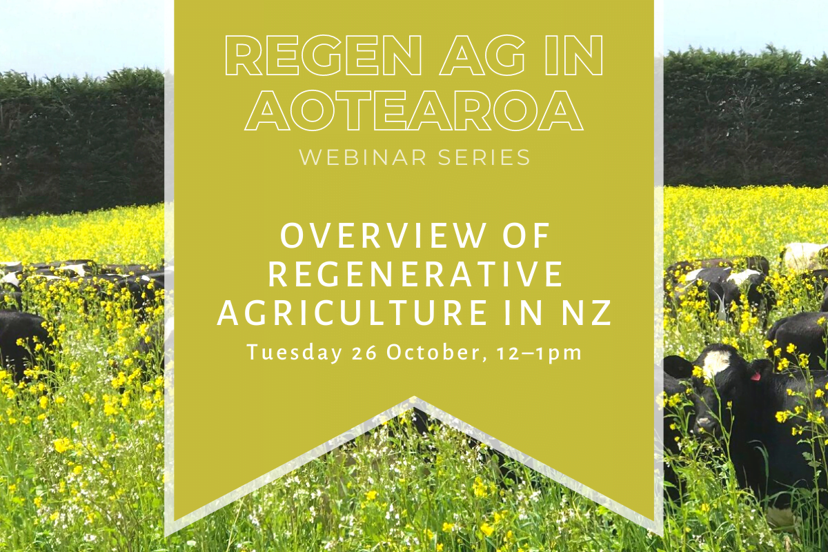
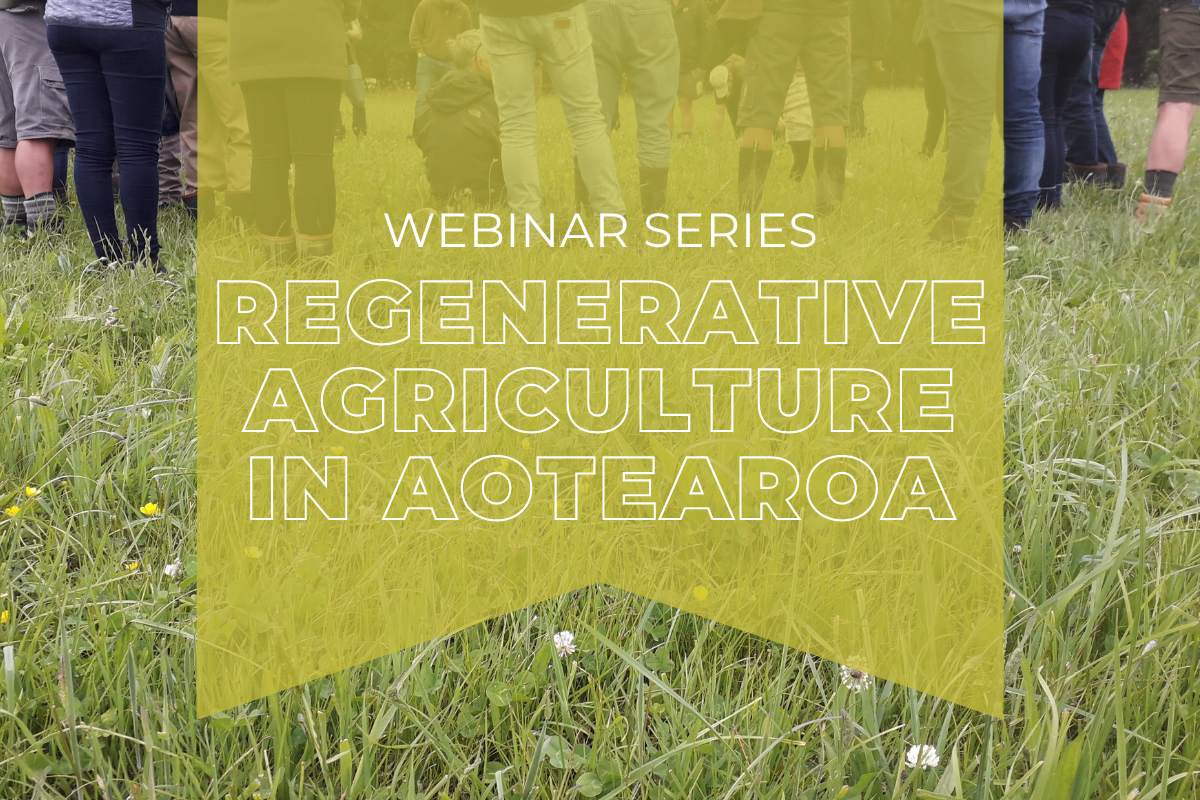
Regenerative agriculture – opening up the wallet
Regenerative agriculture has potential as a selling point for our export markets, but how do the numbers stack up for farmers? This article summarises the…
Presentation
Can the Integration and Implementation Science framework support better research for land and water policy?
New Zealand Freshwater Sciences Society Conference, December 2019
Where are we conducting our research?
This interactive map shows the location of all our research projects to help connect you with the research happening in your catchment.
Hover over regions and click to see key information about the projects.
Our Key Collaborators