 View Our Strategy Document 2019 – 2024

August 30, 2024


Cascade of Soil Erosion
Developing sediment models to enable land managers, water users, communities and iwi to set sediment-related water quality targets
Project Details Ngā taipitopito
Project Status:
Challenge funding:
$400,000Research duration:
January 2017 – December 2018Collaborators Ngā haumi
Horizons Regional Council | Manaaki Whenua Landcare Research | Massey University
What are we doing?E aha ana mātou?
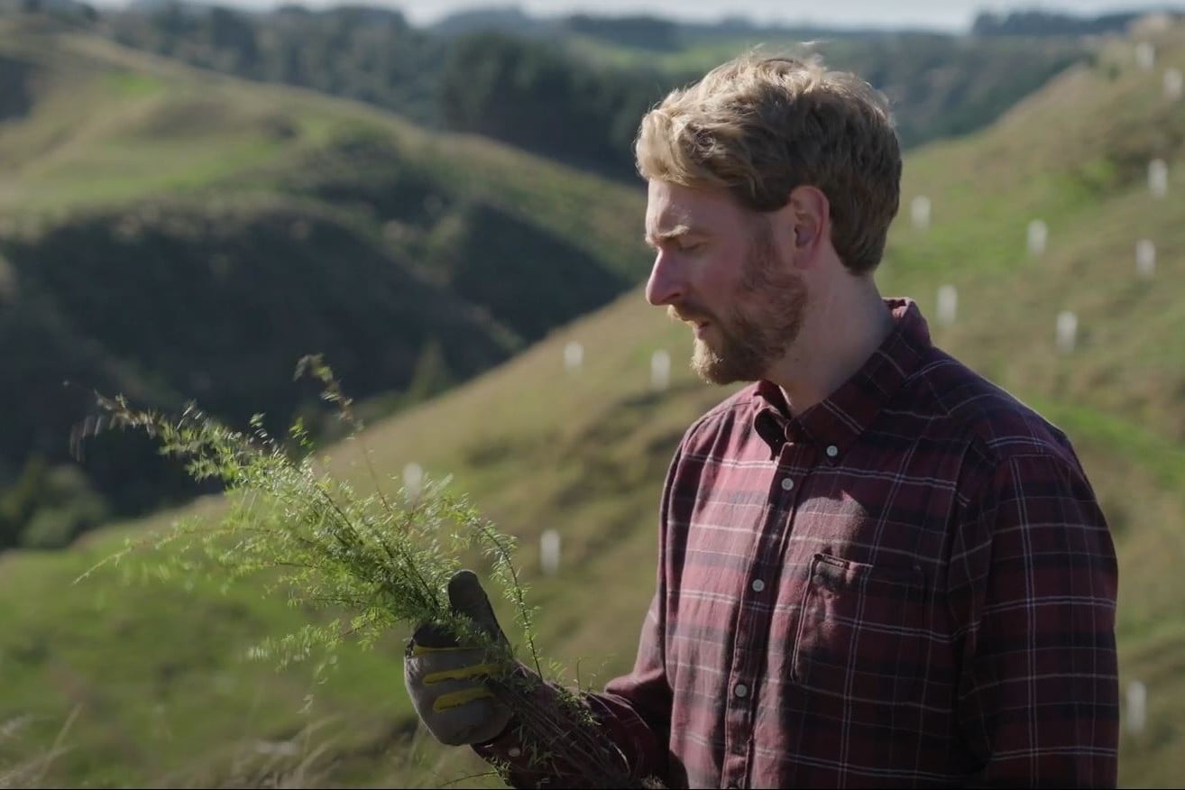
Soil erosion and too much sediment in rivers can result in major environmental problems. The impact of sediment loads on freshwater attributes such as water clarity, and how this affects freshwater ecology, is not fully understood.
This research has highlighted which sources of sediment have the most important role in determining how much suspended sediment ends up in a river. It has shown that the amount of sediment in rivers with headwaters (first-order catchments) is controlled by the maximum water flow during a storm event.
Cascade of Soil Erosion researchers have developed a model that can be used by regional councils to evaluate the impact of changes to land use and management on the sediment yield of catchments, and help plan soil conservation works.
This modelling will help to target the estimated $120 million expenditure needed to deal with erosion and sediment issues across New Zealand each year.
How can the research be used? Ka pēhea e whai take ai te rangahau?
- Horizons Regional Council has used this research to assess the impact of soil conservation work in the Manawatū-Wanganui region. The model’s effectiveness was demonstrated by how close its predictions are to actual measurements of sediment loads in the main channel of the Manawatū River. Horizons Regional Council is continuing to implement soil conservation work, and it is predicted that its Sustainable Land Use Initiative will improve water clarity by 30% by 2043.
- Models developed by this research team can be parameterised with local data, then used in spreadsheet form by regional councils across New Zealand and central government. The models can be used to evaluate the impact of changes to land use and management on the sediment yield of catchments, and help regional councils plan soil conservation work projects of varying size and complexity.
- Using event-based modelling (based on single storm events), this research project has shed light on the effect of peak water flow on storm sediment load. Further development of this modelling will provide more detail by using rainfall radar information as well as obtaining direct measurements from small successive tributaries during storm events.
- Our models contribute to the range of tools to evaluate land-use suitability.
- The Hill Country Erosion Fund was boosted from $8 million to $20 million, enabling more regional councils to use this research.
- This research has been cited in reports informing the government’s 2019 Essential Freshwater proposal, to derive sediment load targets for all catchments in New Zealand, and in the investigation of the practicality of achieving those targets.
- The models developed by this research team are being further refined in Smarter Targeting of Erosion Control, an MBIE-funded programme (2018–2022).
Participation & engagement Te hunga i whai wāhi mai
- Cascade of Soil Erosion researchers are working in close collaboration with Horizons Regional Council, who are providing flow and water quality data fundamental to the project. Horizons Regional Council is also sharing data and collaborating in the development and application of event-based sediment loss models for low-order catchments.
Research team Te hunga i whai wāhi mai
Research Lead
John Dymond
Manaaki Whenua Landcare Research
Simon Vale
Manaaki Whenua Landcare Research
Jake Robinson
Massey University
Tools & resources Ngā utauta me ngā rauemi
Method
Tool for relating land use/management to sediment rating curve for the Manawatu catchment
Visual clarity of water is the distance (in metres) through water that objects can be seen. It is variable over time because it depends on…
Academic outputs He whakaputanga ngaio
Journal Article
Interpreting nesting storm event suspended sediment discharge hysteresis relationships at large catchment scales
Reducing soil erosion and sediment delivery into rivers is a major aim for land management in New Zealand. Therefore, it is important to identify areas…
Journal Article
The Influence of a flood event on the potential sediment control of baseflow phosphorus concentrations in an intensive agricultural catchment
We sampled sediments in an agricultural catchment in Reporoa, New Zealand, before and after a scouring flood event. The tributary was chosen for its low…
Journal Article
An event-based model of soil erosion and sediment transport at the catchment scale
Soil conservation over large areas is expensive and needs to be targeted to obtain maximum benefit for the least cost. In this paper, an event-based…
Technical Report
SedNetNZ, SLUI and contaminant generation. Part 2: Nitrogen, phosphorus and E. coli
Horizons Regional Council (HRC) requested Manaaki Whenua – Landcare Research (MWLR) to update SedNetNZ for the HRC region and use the results to assess the…
Technical Report
SedNetNZ, SLUI and contaminant generation. Part 1: Sediment and water clarity
Horizons Regional Council asked Manaaki Whenua – Landcare Research to document the use of SedNetNZ in the Horizons region; update the assessment of the impact…
Journal Article
Predicting improved optical water quality in rivers resulting from soil conservation actions on land
Soil conservation not only conserves soil but it improves the water clarity of water in rivers. This improvement may be estimated by the methods shown…
In the media Mai i te ao pāpaho
Dairy Farmer, 18 February 2019
A decrease in sediment and phosphorus loads and increase in water clarity was entirely consistent with the predictions in the efficacy of the implementation of farm plans in the Manawatu River catchment.
Related news
Future Landscapes Projects
Visualising Forestry Harvesting Cycles
Future risk planning through the visualisation of forestry harvesting cycles. For full information see the programme website
This project has produced

Matarau: Empowering Māori Landowners in Land Use Decisions
Providing accessible and useful data to support Māori landowners to prioritise land-use options. For full information see the programme website
This project has produced
Next Generation Systems
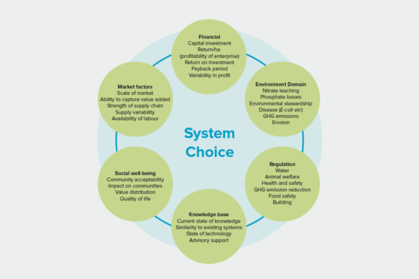
Identifying next generation primary production systems and opportunities to change the face of farming
This project has produced
Land Use Suitability
Land use suitability tools and assessment processes for increasing land use diversity and delivering better community outcomes.
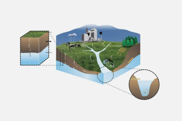
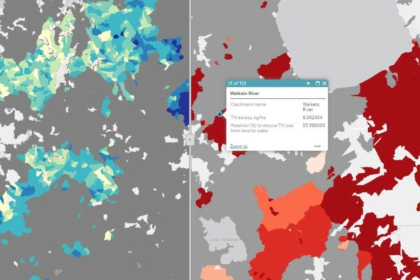
Sources and Flows
Managing contaminant pathways and attenuation to create headroom for productive land use.
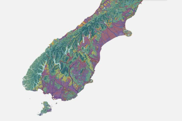
Physiographic Environments of New Zealand
Integrating landscape process knowledge with water chemistry to understand how and why surface water quality varies across New Zealand