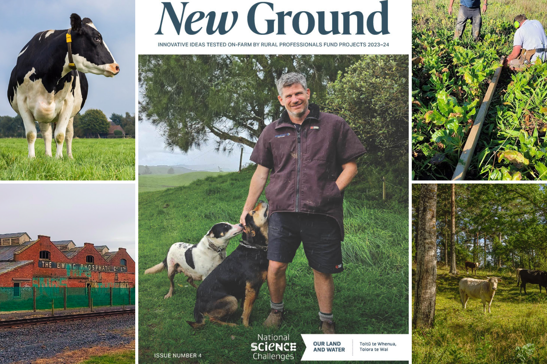
 View Our Strategy Document 2019 – 2024

July 24, 2024

Use one, some or all the filters below to explore our resources, tools & research.
Know what you are looking for? Type below
Or, use our filtered search by selecting as little or as much as you like.
Showing 1 - 9 of 896 results
Method
A method to derive nitrogen transport factors for New Zealand's agricultural lands
Risk index tools have the potential to assist farmers in making strategic decisions regarding their farm design to manage losses of nutrients. Such tools require…
Method
Lower Cost Native Restoration of Farmland: Tīmata Method Fact Sheet
This six-page fact sheet on the Tīmata Method has been developed for New Zealand land owners. The Tīmata Method, which in Māori translates to begin,…
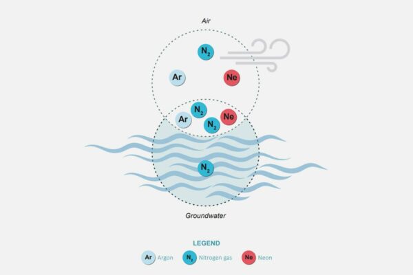
Measuring Denitrification
The development of a method for measuring denitrification is a first for New Zealand, providing vital data for understanding natural denitrification processes
This project has produced
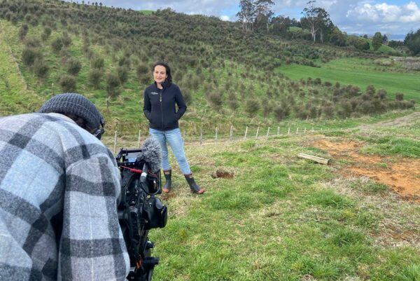
Retiring Farmland into Ngahere
Restoring Aotearoa together: Triple the area, at one-third the cost
This project has produced
Method
Refinement of the Framework for Assessment of Recreational Water Quality
Regional and city council staff now have a documented process to follow when faecal contamination is identified in freshwater, created by ESR researchers involved in…
Method
Outcome Spaces Framework
A practical framework to plan for preferred outcomes in transdisciplinary projects. The outcome is a map that compiles the project outcomes expected by the collective…
Method
A spatial analysis framework to assess responses of agricultural landscapes to climates and soils at regional scale
This chapter describes the structure, datasets and processing methods of a new spatial analysis framework to assess the response of agricultural landscapes to climates and…
Method
Achieving unbiased predictions of national-scale groundwater redox conditions via data oversampling and statistical learning
An important policy consideration for integrated land and water management is to understand the spatial distribution of nitrate attenuation in the groundwater system, for which…
Method
A Heuristic Method for Determining Changes of Source Loads to Comply with Water Quality Limits in Catchments
A common land and water management task is to determine where and by how much source loadings need to change to meet water quality limits…