 View Our Strategy Document 2019 – 2024
August 30, 2024
Our Land and Water has now ended.
Our mission was to preserve the most fundamental treasures of Aotearoa – its land and water – while producing value from those same treasures.

News
Sorry, we couldn't find any posts.
Resource Finder
Use one, some or all the filters below to explore our resources, tools & research.
Know what you are looking for? Type below
Or, use our filtered search by selecting as little or as much as you like.
Showing 1 - 9 of 994 results

Journal Article
Silvopastoral agroforestry systems for dryland corners in Canterbury farms
Potential future water constraints on dry areas of Canterbury farms, combined with existing animal welfare requirements, have spurred interest in practices such as agroforestry that…


Urban-Rural Partnerships for Equal Change
Partnering for change: A shared-responsibility approach to environmental change
This project has produced


Presentation
Development of Next Generation Farming Systems using a Multi-Criteria Decision-Making framework
Land Use and Water Quality Agriculture and the Environment, June 2019, Denmark
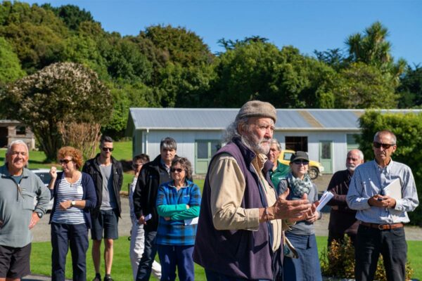
New Models of Collective Responsibility
Developing new ways to strengthen the connection between people, land and water

Guidance
Monitoring E. coli in lakes and rivers
Escherichia coli (E. coli) is a common bacteria found in the digestive system of warm-blooded animals, including humans. Because E. coli can survive for a…
Guidance
Lessons from governing and managing community-led research
The Revitalise Te Taiao programme, a community-led research initiative, aimed to create lasting changes in land use, management, and market focus to regenerate the environment…

Summary
Regenerative agriculture – opening up the wallet
Regenerative agriculture has potential as a selling point for our export markets, but how do the numbers stack up for farmers? This article summarises the…

Kuaha Matihiko: Digital Gateway
A digital gateway to data and tools that is user-friendly, open-access, inclusive, collaborative and trustworthy
This project has produced

Journal Article
Reference conditions and threshold values for nitrate-nitrogen in New Zealand groundwaters
Management of groundwater quality is assisted by an understanding of reference conditions, which describe the concentration ranges expected for key substances in the absence of…
Where are we conducting our research?
This interactive map shows the location of all our research projects to help connect you with the research happening in your catchment.
Hover over regions and click to see key information about the projects.
Our Key Collaborators