View Our Strategy Document 2019 – 2024

August 30, 2024


Our Land and Water has now ended.
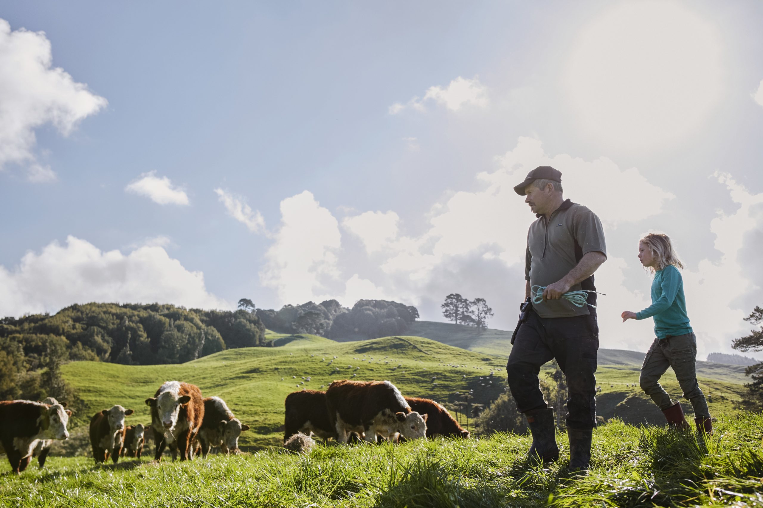
Our mission was to preserve the most fundamental treasures of Aotearoa – its land and water – while producing value from those same treasures.

Resource Finder
Use one, some or all the filters below to explore our resources, tools & research.
Know what you are looking for? Type below
Or, use our filtered search by selecting as little or as much as you like.
Showing 1 - 9 of 994 results
Technical Report
Co-Innovation Leads to High-Impact Indicators
This paper was commissioned by the Our Land and Water National Science Challenge to test the hypothesis: ‘Co-innovation leads to high impact indicators.' The Challenge…
Technical Report
Shifting from land-use capability to land-use suitability
The LUS classification system will be based on concatenation of three categories: land-use potential, contribution to catchment contaminant delivery, and pressure in receiving environments (Fig.…
Technical Report
Evaluation of geospatial datasets and recognition of landscape gradients specific to water quality
This study evaluates the landscape relationships and suitability of existing geospatial datasets for the purposes of mapping physiographic water quality units for the Northland region.…
Video
Find Data: Digital Gateway Webinar
The Find Data platform aims to streamline access to vital land and water information for a diverse range of users. A ‘minimum viable product' is…
Journal Article
The potential for potassium chloride fertiliser applications to leach cadmium from a grazed pasture soil
Cadmium (Cd) is a biotoxic element that can enter the human food chain via plants grown in Cd-enriched soil. Chloride (Cl) can solubilise Cd in…
Journal Article
Municipal composts reduce the transfer of Cd from soil to vegetables
Cadmium (Cd) is a non-essential trace element that accumulates in agricultural soils through the application of Cd-rich phosphate fertiliser. Vegetables can accumulate Cd to concentrations…
Journal Article
Does variable rate irrigation decrease nutrient leaching losses from grazed dairy farming?
A six-year study was conducted to determine whether the use of variable rate irrigation (VRI), compared to uniform rate irrigation (URI), could decrease N and…
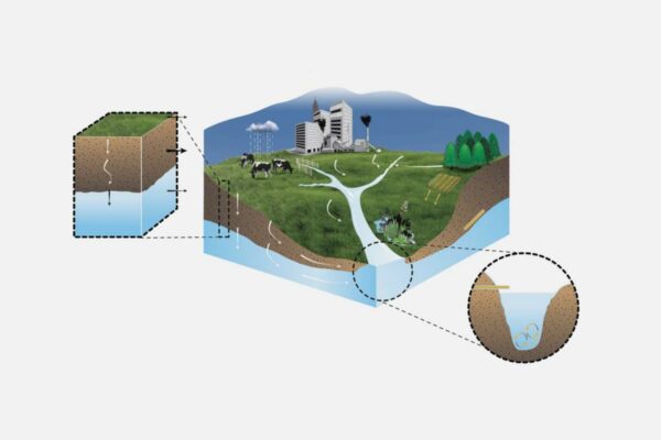
Sources and Flows
Managing contaminant pathways and attenuation to create headroom for productive land use.
Journal Article
Modeling Water Quality in Watersheds: From Here to the Next Generation
In this synthesis, we assess present research and anticipate future development needs in modeling water quality in watersheds. We first discuss areas of potential improvement…
Where are we conducting our research?
This interactive map shows the location of all our research projects to help connect you with the research happening in your catchment.
Hover over regions and click to see key information about the projects.
Our Key Collaborators