View Our Strategy Document 2019 – 2024

August 30, 2024


Our Land and Water has now ended.
Our mission was to preserve the most fundamental treasures of Aotearoa – its land and water – while producing value from those same treasures.

Resource Finder
Use one, some or all the filters below to explore our resources, tools & research.
Know what you are looking for? Type below
Or, use our filtered search by selecting as little or as much as you like.
Showing 1 - 9 of 994 results
Guidance
Management Practices to Improve Water Quality (learning module)
This kōwae (learning module) will help you support farmers in creating cost-effective freshwater environment plans using science from Our Land and Water. You will learn:…
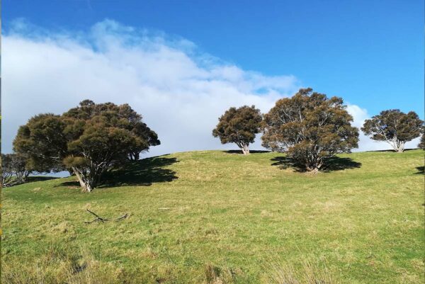
Silvopastoral Systems
Maximizing the benefits of integrating trees with livestock production for multifunctional rural landscapes in Aotearoa
This project has produced
Workforce Implications of Land-Use Change
Investigating workforce as a constraint on land-use changes
This project has produced
Guidance
Business Case Template for Establishing a Hapū Iwi Taiao Unit
This template Business Case is intended to support Iwi and Hapu who are grappling with how they can build or extend their Taiao functionality within…
Technical Report
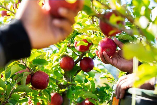
Pulses and Grains Consumer Insights Report
This consumer insights summary is based on 1 x distributor interview, 14 x business to business interviews (retailers, manufacturers and influencers), 1 consumer focus group…
Video
Building Kaitiaki Intelligence Platforms: Positioning iwi as the national first-movers in precision, high-resolution environmental monitoring
Kā Waimaero | Ngāi Tahu Centre seminar presented on 16 August 2022 by Dr John Reid at University of Canterbury. Over the last few years…
Kuaha Matihiko: Digital Gateway
A digital gateway to data and tools that is user-friendly, open-access, inclusive, collaborative and trustworthy
This project has produced
Journal Article
Development of a national-scale framework to characterise transfers of N, P and Escherichia coli from land to water
A hydrological framework encompassing nitrogen (N), phosphorus (P) and microbial (E. coli) transfer from land to water was developed to provide a consistent and rapid…
Video
Perception of Drone Use in Environmental Management
Can drones be used to efficiently demonstrate environmental compliance and thus ecological sustainability? This short video describes research that investigated the perceptions of farmers and…
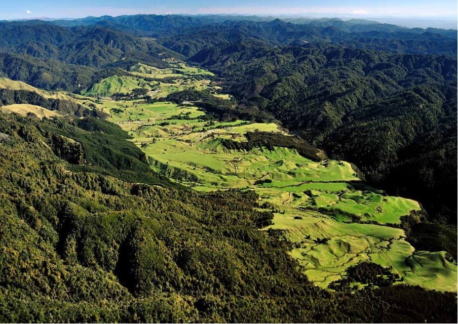
Where are we conducting our research?
This interactive map shows the location of all our research projects to help connect you with the research happening in your catchment.
Hover over regions and click to see key information about the projects.
Our Key Collaborators