 View Our Strategy Document 2019 – 2024

August 30, 2024


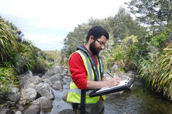
Measuring Denitrification
The development of a method for measuring denitrification is a first for New Zealand, providing vital data for understanding natural denitrification processes
Project Details Ngā taipitopito
Project Status:
Challenge funding:
$230,900Research duration:
January 2017 – December 2018Collaborators Ngā haumi
GNS Science | Horizons Regional Council | Waikato Regional Council
What are we doing?E aha ana mātou?
Nitrate is the most pervasive groundwater contaminant. Around 40% of long-term groundwater monitoring sites in New Zealand show above-natural concentrations. Understanding and better managing nitrogen loads through New Zealand’s aquifers is vital for maintaining freshwater quality.
Denitrification is a natural process involving microorganisms that reduce dissolved nitrate to nitrogen gas. This has potential to significantly reduce nitrate loads in groundwater systems, and as a result, reduce the nitrogen entering water bodies such as streams, springs and lakes.
No quantitative and direct technique for measuring the extent of this denitrification process has been available in New Zealand.
This research project has developed and proven a methodology for measuring dissolved neon which, in combination with argon and nitrogen measurements, can be used to quantify excess nitrogen in groundwater. This enables the amount of nitrate that has undergone complete denitrification to be calculated.
How can the research be used? Ka pēhea e whai take ai te rangahau?
- A method was developed to quantify the end product (excess N2) from the denitrification reaction, which can then be used to find the rate of denitrification (by combining with age). With enough data, a 3D map of denitrification could be created.
- The project team is collaborating with Horizons Regional Council, Environment Southland and Waikato Regional Council to ensure that the measurement tools will be used by the councils. For example, the method has been used in the Waikato Regional Council’s test wells.
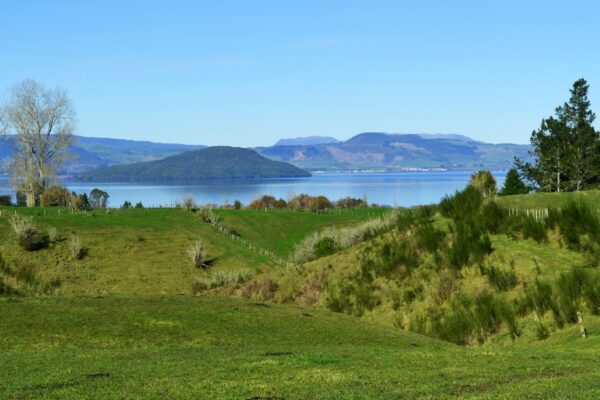
- Testing in the Lake Taupō catchment, which is under threat from excess nitrogen contaminants, aims to understand denitrification for better protection of this nationally significant environment.
- The method developed by this programme will contribute to the production of an accurate national map of denitrification, which would feed into the Land Use Suitability programme, providing science-based data for land use optimisation to improve water quality.
- The next step for this research is to get the technique ready for wider adoption on a regional and national level, with improved sensitivity enabling larger catchment studies.
Research team Te hunga i whai wāhi mai
Research Lead
Uwe Morganstern
GNS Science
Karyne Rogers
GNS Science
Rob van der Raaij
GNS Science
Ranvir Singh
Massey University
John Hadfield
Waikato Regional Council
Heather Martindale
GNS Science
Tools & resources Ngā utauta me ngā rauemi
Infographic
Method for measuring denitrification in groundwater
Groundwater contains dissolved nitrogen gas (from both the air and denitrification), and dissolved argon and neon gases (which come only from the air). By extracting…
Summary
Revealing Groundwater’s Denitrification Capacity
A new way to measure denitrification in groundwater has been proved, and could make analysing groundwater’s denitrification capacity more accessible for regional councils and farmers.…
Infographic
Quantifying Actual Denitrification in Groundwater Systems
This poster provides a one-page summary of research to quantify actual denitrification in groundwater systems. Measurement of neon, argon and N2(g) identifies: 1. Excess N2(g)…
Presentation
Quantifying Actual Denitrification in Groundwater Systems – poster
This poster provides a one-page summary of research to quantify actual denitrification in groundwater systems. Measurement of neon, argon and N2(g) identifies: 1. Excess N2(g)…
Academic outputs He whakaputanga ngaio
Journal Article
Assessment of excess N2 for quantifying actual denitrification in NZ groundwater systems
Denitrification in groundwaters is a key nitrate (NO3) attenuation process, where leached NO3 can be reduced to gaseous forms of nitrogen (N2). In this study,…
Technical Report
Measurement of neon in groundwaters for quantification of denitrification in aquifers
Nitrate is the most pervasive contaminant in New Zealand’s groundwaters. Thus, understanding and managing nitrogen loads through New Zealand’s aquifers is vital for maintaining the…
Technical Report
Measuring actual denitrification to understand nitrogen loads through aquifers
Ne is an inert, soluble, gas which is present in air and has been used in international studies to understand recharge conditions. The aim of…
Technical Report
Measurement of neon in groundwaters – analysis and validation
Nitrate is the most pervasive contaminant in New Zealand’s groundwaters. Thus, understanding and managing nitrogen loads through New Zealand’s aquifers is vital for maintaining the…
Related news
Future Landscapes Projects
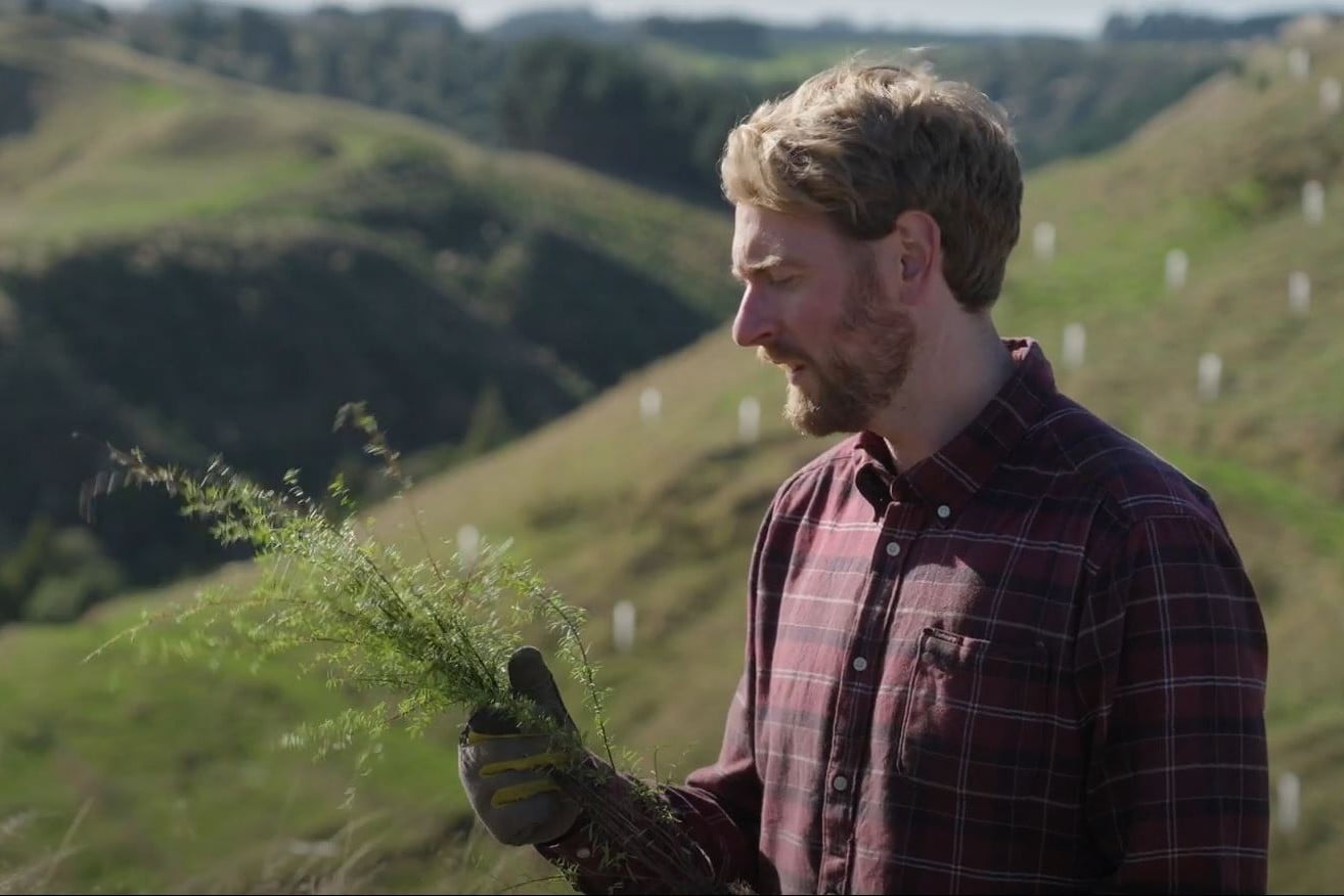
Visualising Forestry Harvesting Cycles
Future risk planning through the visualisation of forestry harvesting cycles. For full information see the programme website
This project has produced

Matarau: Empowering Māori Landowners in Land Use Decisions
Providing accessible and useful data to support Māori landowners to prioritise land-use options. For full information see the programme website
This project has produced
Next Generation Systems
Identifying next generation primary production systems and opportunities to change the face of farming
This project has produced
Pohewa Pae Tawhiti
Supporting land-use change decisions that are consistent with landowner long-range visions and priorities, through an integrated framework that incorporates tools, models and innovative guidelines and…
This project has produced
Monitoring Freshwater Improvement Actions
Monitoring the effectiveness of interventions and mitigation actions on freshwater improvement. For full information see the programme website
This project has produced
Linking Legacies to Wai
Accounting for lag times and natural concentrations of contaminants in groundwater