 View Our Strategy Document 2019 – 2024

August 30, 2024


Research projects in
Hawke’s Bay
Te Matau-a-Māui

The projects below have undertaken research in Hawke’s Bay. This could be through partnerships, case studies, modelling or on-farm research.
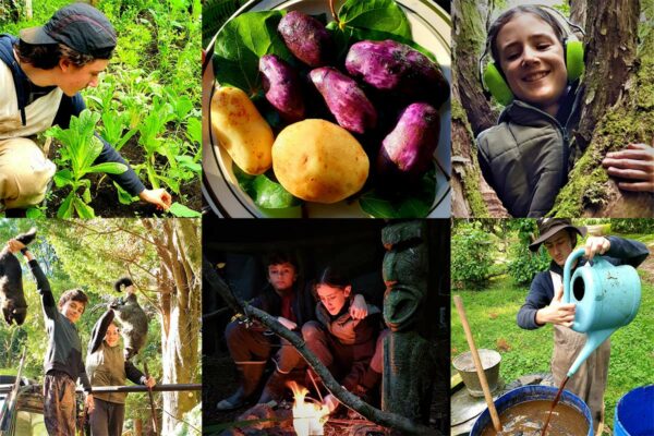
Early Māori Agricultural Entrepreneurship
Culturally responsive reimagining of primary production based on traditional models of the past
This project has produced
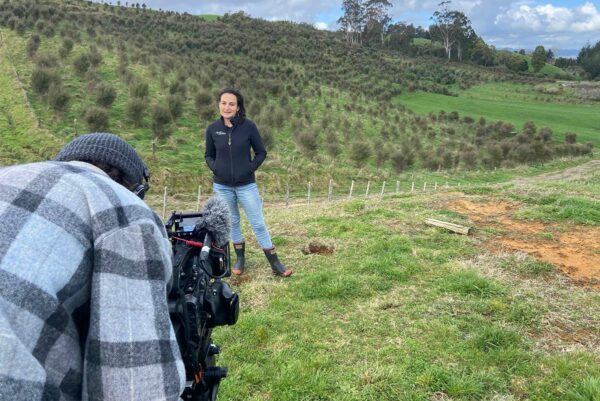
Retiring Farmland into Ngahere
Restoring Aotearoa together: Triple the area, at one-third the cost
This project has produced
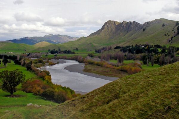
Land Use Suitability
Land use suitability tools and assessment processes for increasing land use diversity and delivering better community outcomes.
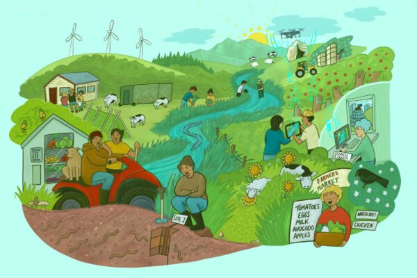
Land Use Opportunities
Developing a holistic decision-making framework for evaluating land use opportunities.
This project has produced
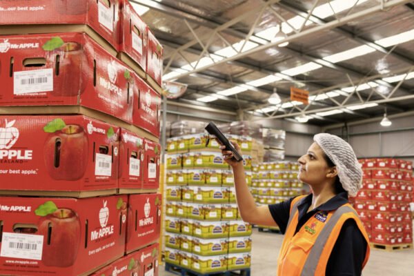
Integrating Value Chains
Providing knowledge on how to construct global value chains that share increased value with New Zealand farmers and growers, and meet environmental expectations of consumers…
New Models of Collective Responsibility
Developing new ways to strengthen the connection between people, land and water
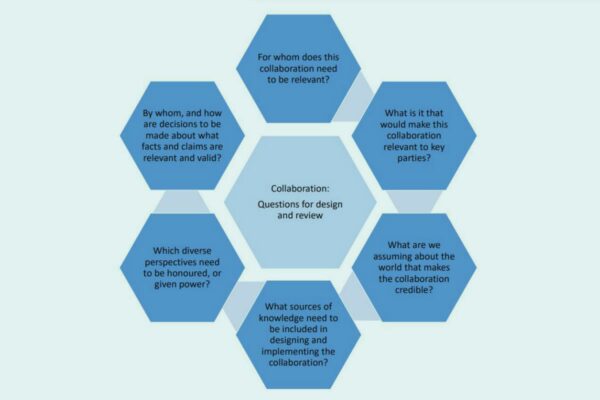
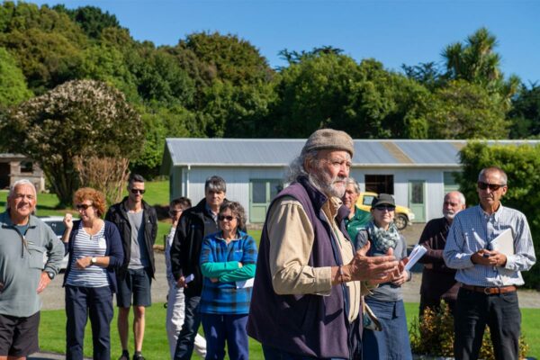
The Collaboration Lab
Determining the role of collaboration in transforming management of land and water
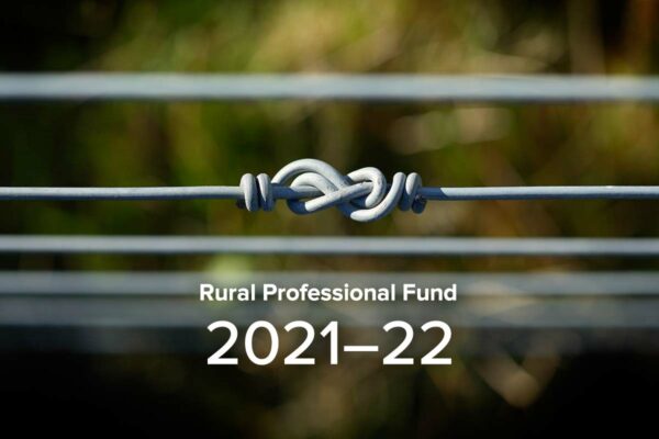
Rural Professionals Fund 2021–22
There were 12 successful projects in the second funding round for the Our Land and Water Rural Professionals Fund.
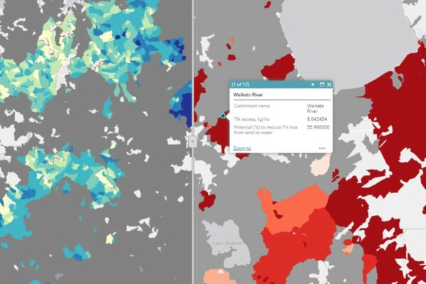
Synthesis Scenarios for Future Land Use
Steering land use change to meet water quality targets, through the synthesis of Our Land and Water research
This project has produced
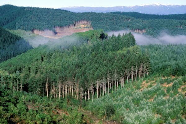
Visualising Forestry Harvesting Cycles
Future risk planning through the visualisation of forestry harvesting cycles. For full information see the programme website
This project has produced