 View Our Strategy Document 2019 – 2024

August 30, 2024


Matarau: Empowering Māori Landowners in Land Use Decisions
Providing accessible and useful data to support Māori landowners to prioritise land-use options.
For full information see the programme website
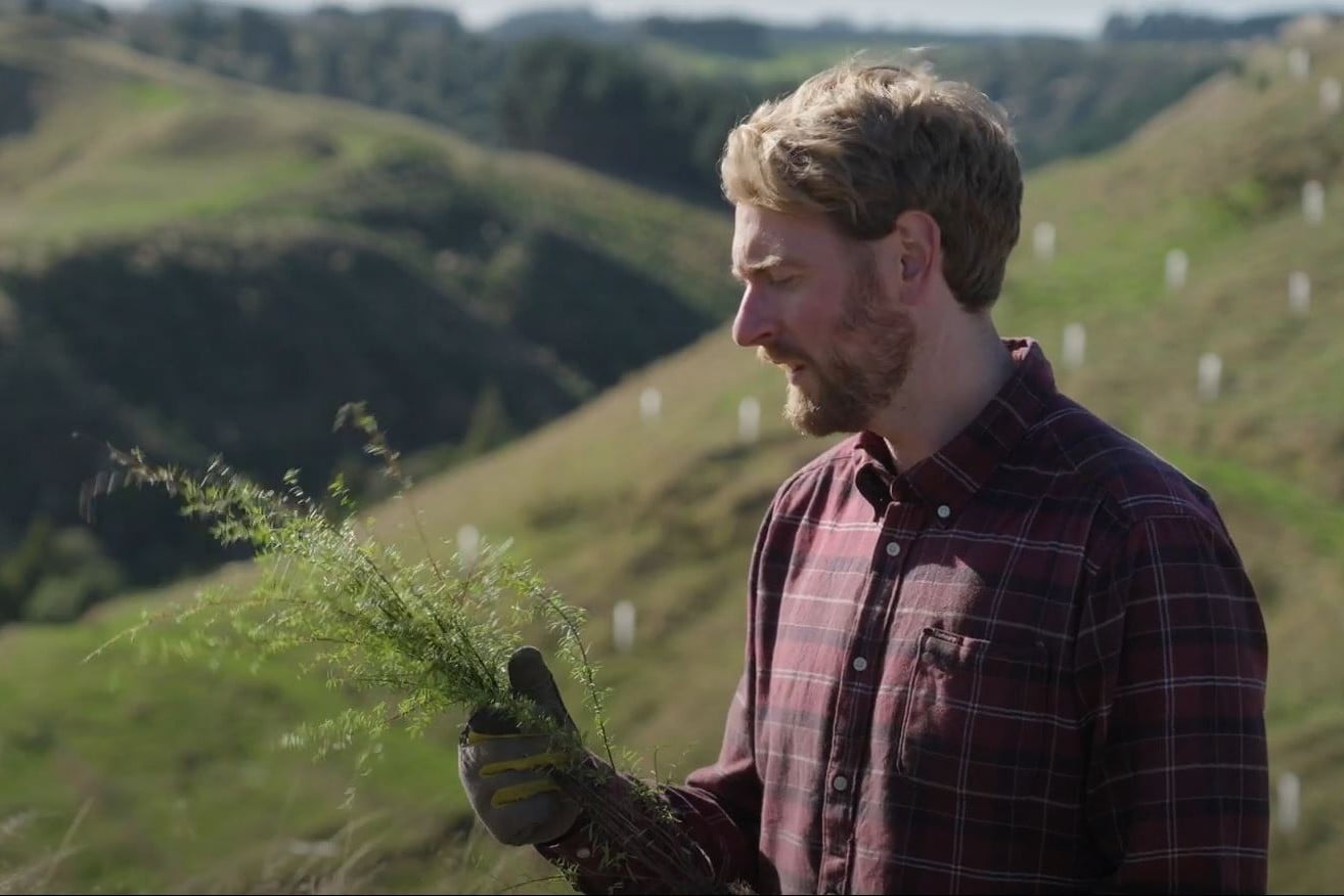
Kids & Co Photos / Laura Bolt / TrueStock
Project Details Ngā taipitopito
Project Status:
Challenge funding:
$700,000Research duration:
October 2022 – December 2023Collaborators Ngā haumi
Land Use Capability Assessments | Manaaki Whenua | Plant & Food Research | Scion | Van Hattum Corsbie (VHC)
What are we doing?E aha ana mātou?
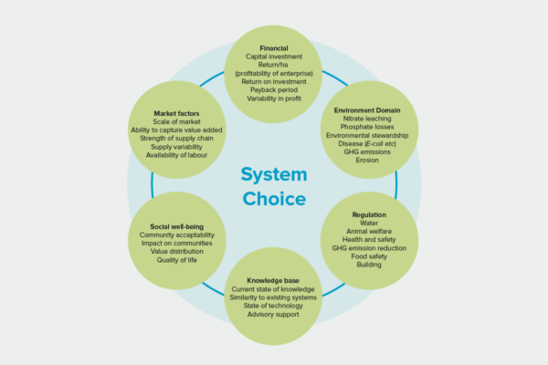
A significant proportion of land currently in Māori ownership is classified as marginal and undeveloped. Many Māori organisations are exploring opportunities for diversification into a range of land uses and enterprises.
These Māori landowners need relevant data that enables them to prioritise land-use options according to the unique characteristics of their whenua, and to access robust advice from consultants.
This project will use the information and data generated by the Land Use Opportunities: Whitiwhiti Ora programme, and make it accessible and useful for Māori landowners, to support their land-use decisions.
This regional-scale data will be delivered via a user-friendly website.
How can the research be used? Ka pēhea e whai take ai te rangahau?
- Currently, Māori landowners rely on feasibility reports prepared by consultants, with limited opportunities to assess the extent to which short-listed options meet their broader aspirations. By making the underlying data and information accessible online, Māori landowners will be able to have more informed kōrero with consultants and will be empowered to better understand the full range of options that are likely to be viable for their whenua. The specialist skills of consultants can then be engaged for in-depth business cases, rather than general feasibility studies.
- This project will produce regional-scale data packages and fact sheets for multiple land-use options. These can be used to support conversations about land-use choices that are aligned with whānau aspirations and the biophysical character of the whenua, and that consider pressures on wai and future suitability to our changing climate.
- The kaupapa will be focused on communicating information in a way that is suitable and user-friendly for Māori landowners. A range of guidance resources will be developed that support the application of the information.
- This project is closely connected to the Land Use Opportunities: Whitiwhiti Ora programme, which will disseminate findings to the wider stakeholders.
Participation & engagement Te hunga i whai wāhi mai
- This project is led by a strong Māori cross-agency team, with collective expertise in the needs, aspirations, and challenges of Māori landowners across the motu.
- Three kāhui groups will advise the programme. These cover a geographical spread, a range of farm systems and a range of governance structures (from ahu whenua trust to corporations) and varying stages of development. The kahui groups will ensure the outputs are fit for purpose, identify gaps in the information provided, and help the research team understand the priority information needs (data type and format) of Māori landowners. This information will be used to design an interface that will be tested with the kāhui groups.
Research team Te hunga i whai wāhi mai
Science Co-Lead
Reina Tamepo
Te Whānau ā Apanui, Ngāti Porou, Ngāti Awa
Scion
Science Co-Lead
Nikki Harcourt
Manaaki Whenua
Implementation Lead
Aleise Puketapu
Plant & Food Research
Te Ao Māori Lead
Liliana Clarke
Tanira Kingi
Scion
Sharn Hainsworth
Land Use Capability Assessments
Tools & resources Ngā utauta me ngā rauemi
Interactive Tool
Matarau
Decisions about the future use of whenua are complex and there are a lot of factors to consider. This tool brings together data and information…
Related news
Future Landscapes Projects
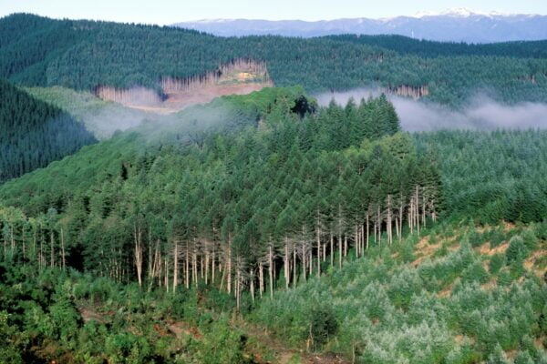
Visualising Forestry Harvesting Cycles
Future risk planning through the visualisation of forestry harvesting cycles. For full information see the programme website
This project has produced
Next Generation Systems
Identifying next generation primary production systems and opportunities to change the face of farming
This project has produced
Land Use Opportunities
Developing a holistic decision-making framework for evaluating land use opportunities.
This project has produced
Pohewa Pae Tawhiti
Supporting land-use change decisions that are consistent with landowner long-range visions and priorities, through an integrated framework that incorporates tools, models and innovative guidelines and…
This project has produced
Monitoring Freshwater Improvement Actions
Monitoring the effectiveness of interventions and mitigation actions on freshwater improvement. For full information see the programme website
This project has produced
Linking Legacies to Wai
Accounting for lag times and natural concentrations of contaminants in groundwater