 View Our Strategy Document 2019 – 2024

August 30, 2024


Phillip Capper, Flickr
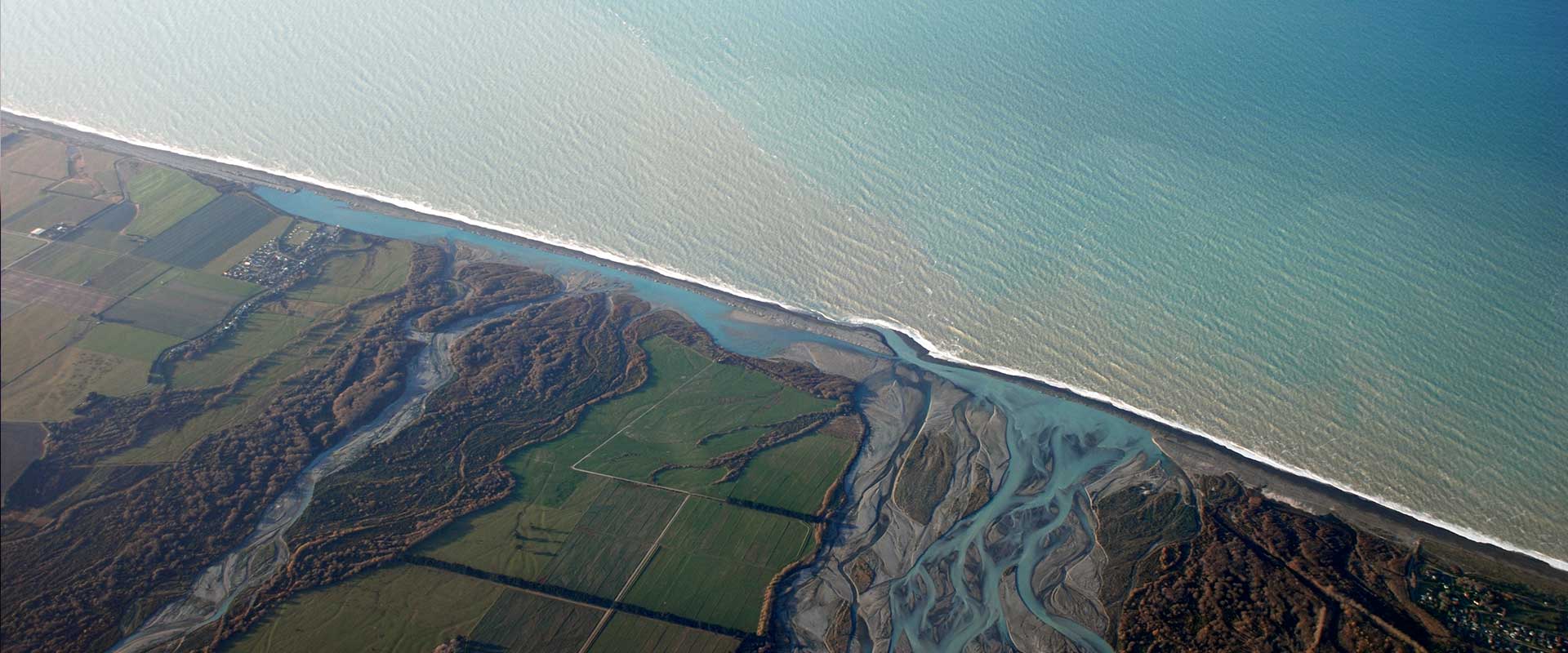
Potential Groundwater Recharge Zones in New Zealand – image
May 2019
Map of the potential groundwater recharge zones across New Zealand (500m x 500m resolution), which can be used to identify areas of high nutrient leaching in zones where high groundwater recharge potential exists. Sources and Flows research identified potential groundwater recharge zones across New Zealand. Knowledge of groundwater recharge potential is required for sustainable groundwater management, including the assessment of vulnerability to contamination. The maps can be used to identify areas of high nutrient leaching in zones where high groundwater recharge potential exists (regions with large lakes and in the lower elevation plains).
Groundwater recharge occurs when surface water moves downward to groundwater. Recharge is the main way that water enters an aquifer.
National data sets of lithology, slope, aspect, land use, soil drainage and drainage density were used to derive groundwater potential zones. The resulting map demonstrates that the potential is low in urban and mountainous areas, such as the Southern Alps, whereas the highest potential can be found in regions with large lakes and in the lower elevation plains areas. The map can be used to identify areas of high nutrient leaching in zones where high groundwater recharge potential exists.
The mapped zones agree well with the locations of aquifers in New Zealand and provide a quick nationwide overview of the groundwater recharge potential zones. The map can be used as an initial guide for nationwide assessment of sustainable management of groundwater resources. Furthermore, the map can be used to estimate vulnerable regions for pollution of groundwater, as highly rechargeable zones are most effective as transmitters of pollutants to groundwater.