 View Our Strategy Document 2019 – 2024

August 30, 2024
-
- About UsMā mātou
- Our ScienceTe pūtaiao
- Future Landscapes Ngā Horanuku AnamataIn the future, landscapes will contain mosaics of land use that are more resilient, healthy and prosperous than today.
- Assessing Contaminants with Stream Order
- Benign Denitrification in Groundwaters
- Cascade of Soil Erosion
- Connecting Soil and Water Quality
- Crop Disease Under Climate Change
- Faecal Source Tracking
- Healthy Estuaries
- Innovative Agricultural Microbiomes
- Interoperable Modelling
- Land Use for Nutritious Diets
- Land Use Opportunities
- Land Use Suitability
- Linking Legacies to Wai
- Mapping Freshwater Contaminants
- Matarau: Empowering Māori Landowners in Land Use Decisions
- Measuring Denitrification
- Monitoring Freshwater Improvement Actions
- Mosaic vs Monoculture Landscapes
- Next Generation Systems
- Pasture for Humans
- Peri-Urban Potential
- Phosphorus Best Practice
- Physiographic Environments of New Zealand
- Pohewa Pae Tawhiti
- Protein Future Scenarios
- Silvopastoral Systems
- Sources and Flows
- Visualising Forestry Harvesting Cycles
- Incentives for Change Ngā Poapoa PanoniWe want to reward New Zealand’s primary producers for producing high-value products in sustainable ways.
- Aotearoa Food Cultures
- Appropriate Use of Taonga Species
- Credence Attributes On Farm
- Early Māori Agricultural Entrepreneurship
- EU Green Deal: Impact on NZ Exports
- Eutrophication Product Footprinting
- Impact of Imported Feed Shortages
- Incentives for Data Sharing
- Indicators Working Group
- Integrating Value Chains
- Kaitiaki Intelligence Platforms
- Kuaha Matihiko: Digital Gateway
- Measuring Full Impacts of Land-Use Change
- New Models of Collective Responsibility
- Options for Rural Investment
- Reasons for Water Quality Improvement
- Regenerative Agriculture
- Register of Land Management Actions
- Rewarding Sustainable Practices
- Signals for Land Stewards
- The Matrix of Drivers
- Workforce Implications of Land-Use Change
- Pathways to Transition Ngā Ara WhakawhitiWe are growing understanding of what it takes to transition to resilient, healthy and prosperous futures, and are developing tools to help.
- Connecting Food Producers & Consumers
- Diverse Experiences of Farming
- Enhancing Assurance Schemes
- Future Scenarios for Arable Agriculture
- Implementing Te Mana o Te Wai
- Land-Use Scenarios for Nikau Farm
- Lessons from Our Land and Water
- Mauri Whenua Ora
- Ngā Tai-o-Rongo
- Predicting Agricultural Research Adoption
- Retiring Farmland into Ngahere
- Revitalise Te Taiao
- Rural Professionals Fund 2020–21
- Rural Professionals Fund 2021–22
- Rural Professionals Fund 2022–23
- Rural Professionals Fund 2023–24
- Science in Freshwater Policy Development
- Shared Vision for Land Use in Marlborough
- Storying Kaitiakitanga
- Synthesis Scenarios for Future Land Use
- The Collaboration Lab
- Trust and Social Licence
- Urban-Rural Partnerships for Equal Change
- Whenua Life Values
- Future Landscapes Ngā Horanuku AnamataIn the future, landscapes will contain mosaics of land use that are more resilient, healthy and prosperous than today.
- News + EventsHe pānui
- Resources Ngā rauemi
- View by topic
- Climate Change
- Collaboration
- E.coli
- Farm Environment Plans
- Farm Management
- Farming for Good
- Increasing Value
- Irrigation
- Land-Use Change
- Measuring Water Quality
- Mitigation
- Nitrogen
- NPS-FM
- Nutrient Management
- Phosphorus
- Regenerative Agriculture
- Sector Transformation
- Sediment
- Social Licence
- Te Ao Māori
- Te Mana o Te Wai
- Winter Grazing
- View by topic
- Outcomes Ngā puawaitanga


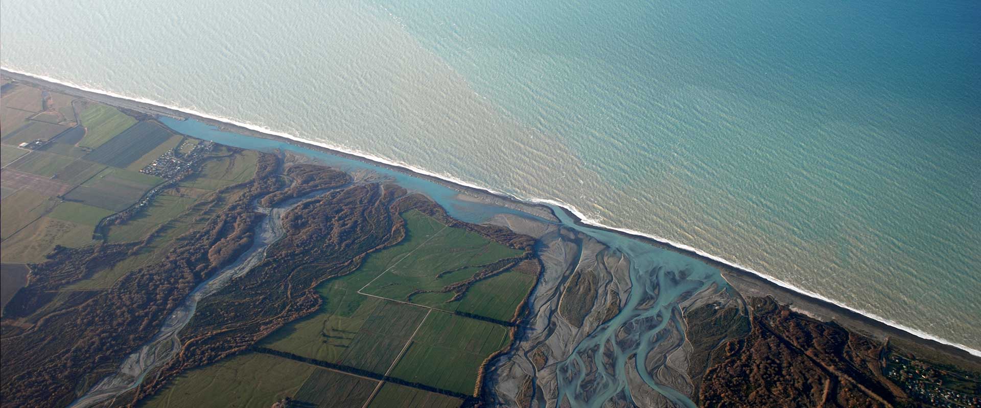
Phillip Capper, Flickr
You are here: Home Resource Finder Map Māorimaps.com Waitangi Catchment Pilot
Māorimaps.com Waitangi Catchment Pilot
April 2018
This provides a new web enabled access tool that connects cultural GIS data and soil and water science, with the Māori Maps marae community platform. This provides new ways for mana whenua to engage with their awa and whenua to achieve their aspirations. Māori Maps acts as a portal to WhenuaViz data provided by Mauri Whenua Ora research. Work to extend the decision support tool to the Bay of Plenty is currently underway.
Published dataset