 View Our Strategy Document 2019 – 2024

August 30, 2024


Paul Sutherland
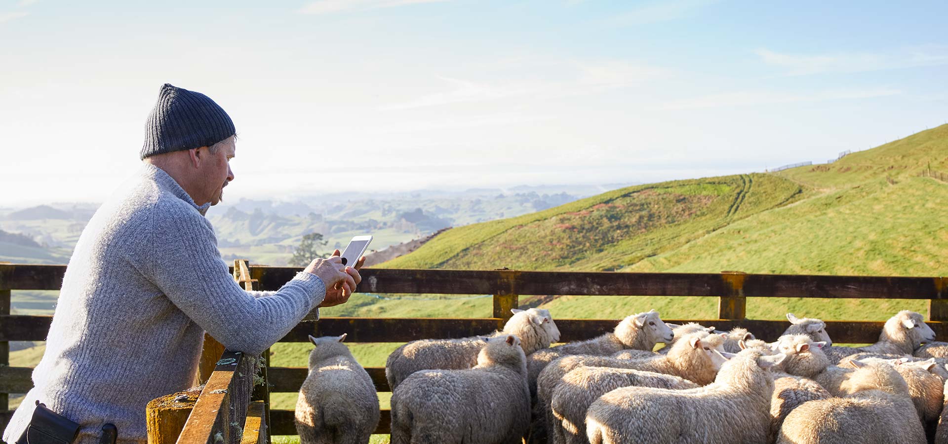
Forest Catchment Planner app
The Forestry Catchment Planner provides a comprehensive and intuitive platform for understanding plantation forestry harvesting cycles in a geospatial context within New Zealand’s vulnerable landscapes. By integrating detailed data and interactive visualisation techniques, the app aims to facilitate informed discussions and decision-making across various stakeholders involved with the forestry sector.
The Forestry Catchment Planner app helps to visualise the following data:
- Forest Locations and Ages: Where plantation forest stands are located in the 5 key regions: Te Tauihu (Tasman District, Nelson City, Marlborough District), Te Matau-a-Māui (Hawkes Bay), and Tairāwhiti (Gisborne District) and an accurate approximation of how old they are.
- Future Harvesting: What the picture of harvesting may look like into the future based on assumptions of harvesting at age 28 and that the window of vulnerability lasts on average 5 years.
- Catchment Management Units: A consistently sized catchment management unit can be used to measure proportion of harvesting across regions at a landscape scale.
- Hillslope Units: A breakdown of all catchment management units into smaller hillslope units representing the headwater streams.
- Landslide and Debris Flow Modelling: Rainfall induced landslide susceptibility modelling and debris flow modelling based on the Melton Ratio giving us indication on how vulnerable the land beneath forested land is and how probable a landslide will turn into a Debris Flow.
- Infrastructure: Civil and urban infrastructure such as bridges, power lines, railway lines and building footprints to make it easier to see what’s nearby
- Māori Land Features: Māori land and related features such as mārae locations and Māori land blocks to help tangata whenua to understand their connection to the conversations.
Overall, the Forestry Catchment Planner app supports stakeholders in proactively managing forestry impacts, fostering sustainable practices, and engaging in meaningful, data-driven conversations.